Teddy Swims Drops Emotional New Single ‘Break up in Reverse’ With a Rebuild-The-Room Video Fans Are Already Sharing
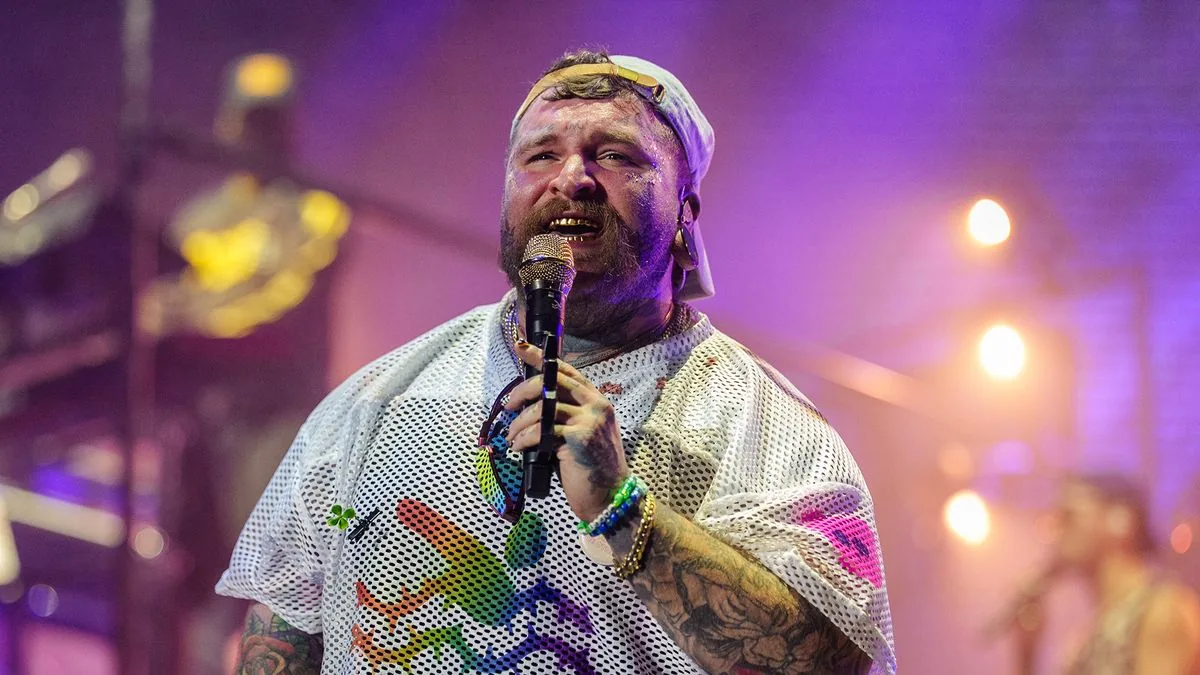
ATLANTA, GA — ATLANTA, GA — Teddy Swims has released his new single, Break Up in Reverse, pairing the track with an emotional music video that gives the song a striking visual hook. The Atlanta singer had been teasing the release on festival stages in the UK and beyond before confirming the drop date earlier this month.
The new video finds Swims standing beside the remains of a small wooden room inside a warehouse. As the song moves forward, the structure slowly rebuilds itself into part of a house, matching the song’s backward-looking heartbreak theme.
A symbolic video that turns heartbreak into something physical
The visual treatment gives the single an almost cinematic feel. Rather than leaning on performance shots alone, the clip uses the collapsing and rebuilding room to mirror the lyrics’ wish to undo a relationship and start again.
Swims shared a short preview of the song before release, posting it with the caption, “Break Up in Reverse. Out this Friday.” Fans quickly flooded the comments, with responses ranging from gratitude to relief that the track was finally on the way.
The lyrics lean into regret and the wish to rewind
In the teaser, Swims sings about wanting to go back to the beginning of a romance and reverse the pain that followed. The snippet includes lines about wishing the relationship could move backward so “every night would get better instead of getting worse.”
The emotional preview helped build anticipation around a song that already felt familiar to fans who had heard him test it out live at festivals. Natasha Bedingfield also chimed in under the announcement, calling it “a proper song bro 👊.”
What fans know so far about the release and what comes next
Break Up in Reverse arrived on Friday, July 10, 2026. Swims has not yet said which album it will appear on, leaving the single as a standalone moment for now.
His most recent studio album, I’ve Tried Everything but Therapy (Part 2), was released in January 2025, followed by the compilation I’ve Tried Everything but Therapy (Complete Edition) six months later. For now, the focus is on the new single and the visual that gives fans one more reason to replay it.
Chicago's music scene, one story at a time — Chicago Music Guide.