Midwest Winter Storm Could Bring Heavy Snow, Ice, and Travel Disruptions Across Illinois, Wisconsin, and Michigan This Weekend

CHICAGO, ILLINOIS — A developing winter storm system is drawing close attention across the Midwest as forecast data signals the potential for heavy snow, pockets of ice, and strong winds from late Friday into Saturday, with Illinois, Wisconsin, and Michigan positioned near the core impact zone. While exact details are still coming into focus, the overall setup points to a high-impact winter weather event capable of disrupting travel, outdoor plans, and major weekend events across the region.
Storm Setup Taking Shape Over the Central U.S.
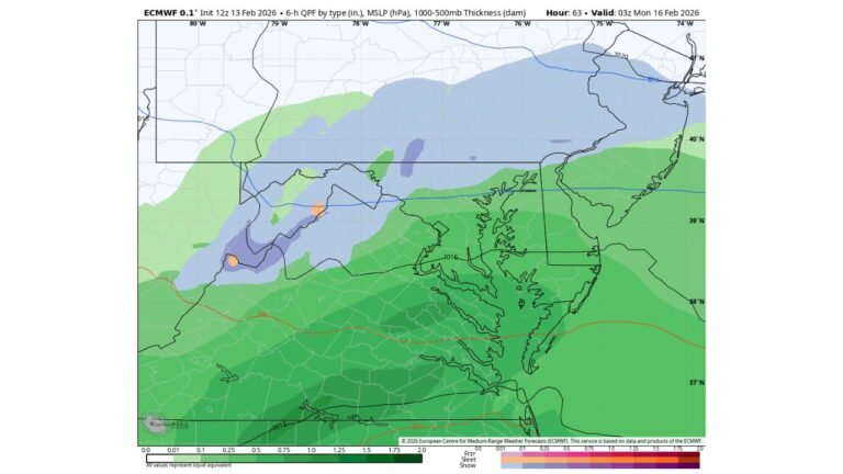
Forecast maps show a deepening surface low tracking through the central Midwest, pulling cold Arctic air southward while simultaneously drawing moisture north from the Gulf. This classic winter storm configuration increases confidence in widespread snowfall, particularly on the northwest side of the storm, with a narrow zone of mixed precipitation possible closer to the storm’s track.
As the system strengthens, pressure gradients tighten, signaling gusty winds that could lead to blowing and drifting snow, especially in open and rural areas of northern Illinois and southern Wisconsin.
Where the Heaviest Snow Is Most Likely
Based on current guidance and snowfall-analysis graphics, the most significant accumulations are favored across:
- Northern Illinois, including the Chicago metro and areas west toward Rockford
- Southern and central Wisconsin, where snow bands may persist longer
- Lower Michigan, particularly areas closer to Lake Michigan
Some model projections suggest several inches of snow, with localized higher totals where banding becomes established. Areas closer to the rain-snow line could see brief sleet or freezing rain, adding an icing concern for roads and power lines.
Lake Influence Could Enhance Snowfall
Cold air flowing over the relatively warmer waters of Lake Michigan may further enhance snowfall totals, especially east of the lake. Lake-enhanced snow bands could linger even after the main storm system exits, extending impacts into early Sunday for parts of Michigan and northern Indiana.
Travel and Event Impacts Likely
With the storm arriving during a peak weekend travel window, road conditions could deteriorate quickly, particularly late Friday night into Saturday. Reduced visibility, snow-covered highways, and slick surfaces are possible during the height of the storm.
This timing could also affect outdoor concerts, festivals, and large sporting events, as accumulating snow and gusty winds create challenging conditions for both attendees and performers.
Why Forecast Confidence Is Still Evolving
Meteorologists are closely monitoring the track and intensity of the surface low, as small shifts north or south will determine where the heaviest snow axis sets up. A slightly stronger system favors heavier snow totals and stronger winds, while a weaker track could limit accumulations in some areas.
Despite those uncertainties, confidence is increasing that at least part of the Midwest will experience impactful winter weather this weekend.
What to Expect Next
Forecast clarity will improve over the next 24 to 36 hours as higher-resolution data becomes available. Winter weather advisories or warnings are likely as the event draws closer, particularly for areas expected to see accumulating snow and hazardous travel conditions.
Residents across Illinois, Wisconsin, and Michigan should prepare for changing road conditions, allow extra travel time, and keep an eye on local forecasts as the weekend approaches.
Stay connected with ChicagoMusicGuide.com for continued Midwest weather updates and how changing conditions could impact concerts, events, and travel plans across the region. What are your weekend plans—and could winter weather change them? Share your thoughts and follow us for the latest updates.