Arkansas, Oklahoma, Texas, Mississippi, Tennessee Face Multi-Day Severe Weather Risk as Tornado Threat Grows and Winter Weather Follows
UNITED STATES — A complex and evolving weather pattern is setting up across large portions of the central and eastern United States this week, bringing severe thunderstorms, tornado potential, damaging winds, large hail, freezing rain, and accumulating snow across multiple regions from the Southern Plains to the Great Lakes and Northeast, according to the latest model guidance and Storm Prediction Center outlooks.
Severe Weather Risk Expands From the Southern Plains Into the Mid-South
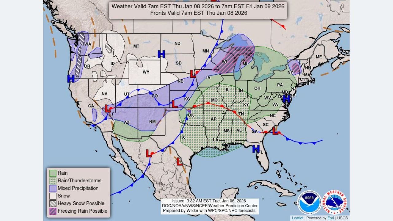
Forecast models and SPC outlooks show a multi-day severe weather setup beginning Wednesday night and intensifying into Friday, January 9, as a strong storm system moves east across the central U.S.
- Wednesday night: A Marginal Risk (Level 1 of 5) has been introduced from northern Oklahoma into west Texas, mainly after dark. Storms are expected to be elevated, limiting tornado potential but still capable of isolated large hail and damaging winds.
- Thursday: The severe threat shifts east into portions of Texas, Oklahoma, Arkansas, Missouri, and Tennessee. While instability remains marginal, strong wind shear will be present. If storms can form in areas where ingredients briefly overlap, a low-end all-hazards threat could develop.
- Friday: The highest-impact day, with SPC maintaining a broad severe risk area across Arkansas, Mississippi, western Tennessee, northern Louisiana, and parts of Alabama. Although the surface low appears slightly weaker and farther south in recent model runs, widespread severe storms remain likely.
If storms become surface-based, tornadoes, damaging straight-line winds, and large hail would all be possible.
Why Friday’s Setup Is Concerning
Atmospheric data shows a powerful upper-level jet stream crossing the region, producing strong wind shear, particularly across the Mid-South. While instability may be limited in some areas, mesoscale features could locally enhance storm intensity.
Key ingredients include:
- Strong low-level and deep-layer wind shear
- Increasing moisture from the Gulf of Mexico
- A progressive cold front providing lift
Even brief storm development in the right environment could result in significant severe weather, including tornadoes.
Cold Air Wraps In Behind the Storm, Bringing Snow and Ice
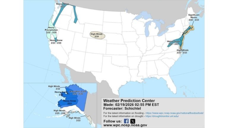
Behind the main storm system, models indicate colder air wrapping in from the northwest, allowing precipitation to change from rain to snow across parts of the Upper Midwest and Great Lakes.
- Some guidance suggests snowfall totals approaching 6 to 8 inches in parts of Michigan, Wisconsin, and northern Illinois, though exact amounts will depend heavily on last-minute temperature trends.
- Areas near the rain-snow line could also experience freezing rain or sleet, increasing the risk of icy roads and power disruptions.
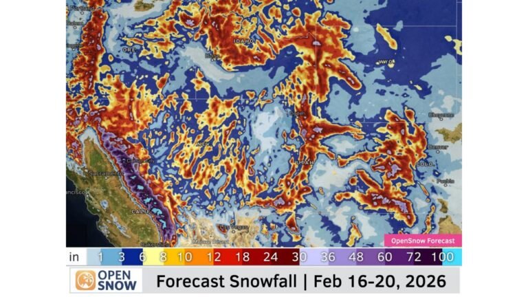
Northwest and Rockies See Heavy Mountain Snow
Meanwhile, two cold fronts are moving through the Pacific Northwest, delivering heavy mountain snow across the Cascades and northern Rockies.
- Snowfall will be most significant at higher elevations in Washington, Oregon, Idaho, and Montana
- Travel through mountain passes may become dangerous or impossible at times
- Valley locations will see mixed precipitation or rain
Northeast and Great Lakes Transition to Wintry Weather
As the storm progresses east, mixed precipitation spreads into the Northeast late this week.
- Freezing rain and snow are possible across parts of Pennsylvania, New York, New England, and the Great Lakes
- Ice accumulation may pose a greater threat than snowfall in some areas
What This Means for Travel and Safety
This is a high-impact, multi-hazard weather pattern affecting millions across the country.
Residents in impacted areas should prepare for:
- Rapidly changing weather conditions
- Possible tornado warnings in the South
- Snow-covered and icy roads in the Midwest and Northeast
- Flight delays and hazardous travel nationwide
Have concerts, events, or travel plans this week? Weather conditions could change quickly depending on your location. Stay weather-aware, check local forecasts often, and follow official alerts as this system evolves.
For more weather updates that could impact live music, events, and travel across the country, keep following ChicagoMusicGuide.com.