Alabama, Mississippi, Georgia, and the Mid-Atlantic Face Expanding January Storm Threat as Colder Pattern and Multiple Systems Emerge

UNITED STATES — A complex and increasingly volatile January weather pattern is taking shape across the southern and eastern United States, with Alabama, Mississippi, Georgia, and surrounding Gulf Coast states facing short-term severe weather risks, while a colder, storm-favorable pattern builds toward the Mid-Atlantic, Ohio Valley, Great Lakes, and Northeast heading into mid-January.
Forecast guidance shows multiple waves of energy, shifting jet-stream dynamics, and growing uncertainty on storm track placement — a combination that raises concerns for heavy rain, damaging winds, isolated tornadoes, and eventual snow potential farther north.
Short-Term Severe Weather Risk Focused on the Deep South
Storm Prediction Center outlooks and mesoscale discussions highlight portions of Louisiana, Mississippi, Alabama, and Georgia under Slight Risk zones, particularly during evening and overnight hours. While daytime activity has remained limited, forecasters warn that nocturnal storms may intensify as instability increases after sunset.
Key threats include:
- Damaging wind gusts
- Training thunderstorms capable of flash flooding
- Isolated tornado potential, especially near the central Gulf Coast and interior Southeast
Several model runs indicate storms repeatedly moving over the same areas, increasing the risk for 5 to 8 inches of rain in localized corridors, particularly across southern Mississippi and Alabama.
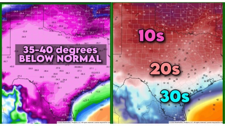
Jet Stream Shift Signals Colder, More Active Pattern
Long-range model ensembles continue to trend toward a pronounced jet-stream dip between January 15 and January 20, allowing Arctic air to spill southward into the central and eastern United States. This pattern supports:
- Colder than normal temperatures east of the Rockies
- Milder conditions across the western U.S.
- A favorable setup for strong storm systems along the temperature gradient
Forecast anomaly maps show a deep trough developing over the eastern half of the country, a classic signal for increased storminess and wintry precipitation potential when moisture is present.
Mid-January Storm Windows to Watch Closely
Meteorologists are monitoring two primary windows for impactful weather:
- January 15–16: A possible southern-tracking system that could bring rain and storms to the Southeast while introducing snow farther north
- January 18–20: A stronger follow-up system with higher confidence signals for widespread impacts
While early ensemble guidance has backed off on perfect storm phasing, the second wave of energy could capitalize on colder air already in place, raising snow probabilities from the Ohio Valley into the Mid-Atlantic and interior Northeast.
Snow Probabilities Increasing North of the Rain-Snow Line
Snowfall probability maps from both GFS and ECMWF ensembles show a growing signal for accumulating snow across:
- Ohio, Pennsylvania, New York
- Interior New England
- Portions of the Great Lakes region
Exact placement remains uncertain, but confidence is increasing that at least one significant winter weather event is possible during the second half of January.
Why Forecast Confidence Remains Limited — For Now
Model guidance shows that the first system may miss optimal alignment, but that outcome could actually set the stage for a stronger second storm. Small changes in timing, energy interaction, and jet placement will determine:
- Whether storms track inland or offshore
- How far south snow can reach
- Which regions see flooding versus wintry impacts
Forecasters emphasize patience as additional 00z and 12z model runs arrive over the coming days.
What This Means for Travel, Events, and Outdoor Plans
With severe weather threats in the South and winter storm potential farther north, residents across a large portion of the U.S. should remain weather-aware, particularly for:
- Overnight severe storms in the Deep South
- Possible travel disruptions mid-month
- Rapid temperature drops behind storm systems
This evolving pattern could have ripple effects on concert schedules, outdoor events, and regional travel, especially across the Midwest, Northeast, and Southeast corridors.
We’ll continue tracking how this developing January pattern evolves and what it could mean for communities nationwide. For more weather updates and regional impact coverage, stay connected with ChicagoMusicGuide.com and share how conditions are unfolding where you live.