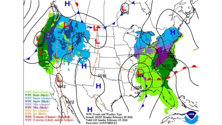
United States Sees Brief Warm Surge Followed by Midweek Cooldown and Wintry Weather Risk for Midwest and Northeast
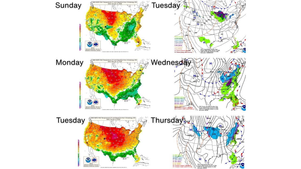
UNITED STATES — A notable temperature swing is unfolding across the Lower 48, with above-normal warmth spreading across much of the country by Tuesday afternoon, followed by a midweek storm system that brings cooler air and a renewed chance of wintry precipitation to the Midwest and Northeast. Forecast guidance from the National Weather Service shows this pattern affecting large portions of the country between Sunday and Thursday, marking a classic January transition from mild to more seasonable winter conditions.
Above-Normal Temperatures Dominate Early in the Week
From Sunday through Tuesday, much of the Lower 48 states experience a widespread warm-up. Forecast temperature maps indicate above-average highs stretching from the West Coast through the Plains and into parts of the East, with the most pronounced warmth centered over the central United States.
This warm surge is driven by a broad upper-level ridge, allowing mild Pacific and continental air to overspread the nation. Many areas across the Midwest, Plains, and Southeast are expected to run 10 to 20 degrees above climatological averages, temporarily reducing heating demand and creating a spring-like feel in mid-January.
Midweek Storm Brings Cooler Air to the Eastern U.S.
By Wednesday, a developing storm system begins to shift the pattern. Cooler air filters into the eastern third of the nation, ending the brief warm stretch and reintroducing more typical winter temperatures.
Surface analysis and frontal maps show a well-defined low-pressure system tracking eastward, dragging a cold front across the Midwest and East. As this system strengthens, temperature gradients sharpen, setting the stage for rain changing to snow or mixed precipitation in colder air behind the front.
Wintry Precipitation Possible in the Midwest and Northeast
The Midwest and Northeast sit in the most favorable zone for wintry weather as the midweek system evolves. Forecast precipitation-type maps suggest snow and mixed precipitation developing across parts of the Upper Midwest, Great Lakes, and interior Northeast, particularly from late Wednesday into Thursday.
While this does not appear to be a major winter storm at this time, light to moderate snow accumulations are possible in colder regions. Travel impacts could develop in localized areas, especially where snow overlaps with falling temperatures and gusty winds.
Storm Track Limits Wintry Impacts in the South
Farther south, including much of the Southeast and Gulf Coast, precipitation associated with the system is expected to remain primarily rain, as temperatures stay above freezing. The cold air arrives later, after the bulk of moisture exits, limiting winter weather potential in southern states.
This timing reinforces that the primary winter impact zone remains north, focused on regions that can retain cold air as the storm passes.
What This Pattern Means Going Forward
This sequence — warmth followed by a sharp cooldown and wintry potential — is typical of January and signals an active jet stream across North America. While the early-week warmth may be noticeable, it is short-lived, and seasonal winter conditions are quick to return in the eastern half of the country.
Forecasters will continue refining details regarding snow coverage, amounts, and exact timing, especially for the Midwest and Northeast, as the storm draws closer.
As weather conditions evolve across the country this week, staying informed will be key. For continued updates on U.S. temperature trends, winter storm chances, and regional weather impacts, visit ChicagoMusicGuide.com for the latest forecasts and expert analysis.