North Carolina and South Carolina Could See Shockingly Fluffy Snow Saturday as Rare 17:1 Snow Ratios Spike
UNITED STATES — A cold, dry air mass settling over the Southeast this weekend could dramatically change how snowfall behaves across North Carolina and South Carolina, with meteorologists flagging abnormally high snow-to-liquid ratios approaching 17:1 — nearly double what the region typically experiences.
According to the latest model data, any snow that does fall on Saturday is expected to be extremely light, powdery, and “fluffy,” meaning even small amounts of moisture could translate into noticeably higher snow totals on the ground.
What Makes This Snow Different From Normal Carolina Events
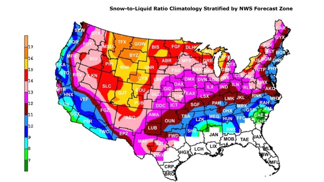
In most winter systems across the Carolinas, snow-to-liquid ratios average around 8:1, meaning one inch of liquid water usually produces about eight inches of snow.
This weekend’s setup is very different.
Model guidance shows ratios near 16:1 to 17:1, indicating an unusually dry snow profile. Under these conditions, just 0.10 inches of liquid water could produce nearly 1.7 inches of snow, even if overall precipitation remains limited.
This type of snow forms when temperatures remain cold through the entire atmospheric column, preventing partial melting and compaction.
Why This Matters Even If Snow Totals Stay Low
Even modest snowfall amounts can have outsized impacts when snow is this dry:
- Snow accumulates faster on untreated roads
- Visibility can drop quickly during brief bursts
- Powdery snow is easily blown by wind, causing drifting
- Ground temperatures cool rapidly beneath fresh accumulation
Because the Carolinas are not accustomed to these ratios, impacts can feel disproportionate to the actual precipitation numbers shown on standard forecasts.
Timing and Setup Behind the Fluffy Snow Signal
Snow-ratio guidance peaks Saturday, with ensemble trends showing the highest values during the coldest window of the system. After that, ratios steadily decline into early next week as temperatures moderate and the air mass moistens.
The data strongly suggests that any snowfall occurring Saturday will represent the most efficient snow-producing phase of the event, even if it lasts only a short time.
What This Does — and Does Not — Indicate
This data does not guarantee widespread heavy snowfall. Instead, it highlights how small changes in moisture could translate into more visible snow than residents expect.
Key takeaway:
- Low liquid totals do not automatically mean low snow totals
- Snowfall may appear heavier or accumulate faster than forecast graphics suggest
What to Watch Next
Forecasters will continue refining precipitation placement and duration, but the snow-ratio signal itself is strong and well-supported by current model trends.
Residents across North Carolina and South Carolina should pay close attention to updates, especially if even light precipitation coincides with peak cold.
Stay tuned to ChicagoMusicGuide.com for continued winter weather updates, regional breakdowns, and real-time forecast changes as new data comes in.