Mid-February Warm-Up Signals Rapid Temperature Shift Across the Eastern U.S., Raising Flood and Ice Melt Concerns
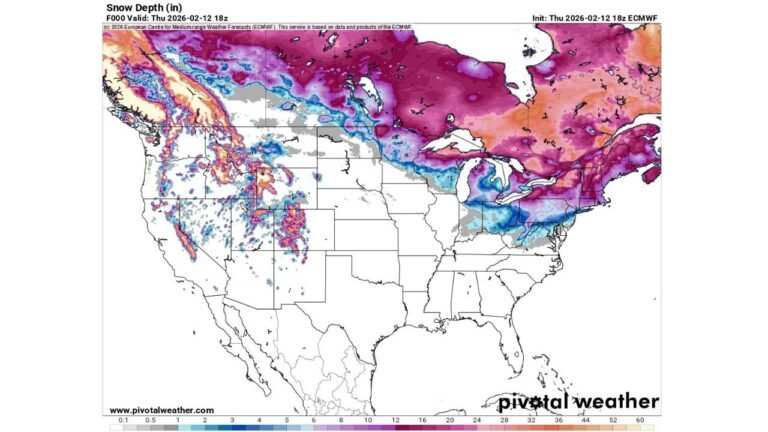
UNITED STATES — A significant temperature warm-up is forecast to develop by mid-February across the Mid-Atlantic and Northeast United States, following weeks of sustained cold and heavy snowfall. Forecast data indicates a sharp shift toward above-average temperatures, increasing concerns over rapid snowmelt, localized flooding, weakening ice cover, and the potential for river ice jams, particularly in snow-loaded regions.
While the eastern half of the country prepares for warmer conditions, outlooks show cooler and wetter weather persisting across much of the Western United States, setting up a notable east-west weather contrast heading deeper into February.
Above-Normal Temperatures Expected Across the Mid-Atlantic and Northeast
The 8–14 Day Temperature Outlook (valid February 11–17, 2026) highlights a broad zone of above-average temperatures stretching from the Central Plains through the Ohio Valley, Mid-Atlantic, and into the Northeast. Probability shading suggests a high likelihood of warmer-than-normal conditions across densely populated regions that have recently experienced persistent cold.
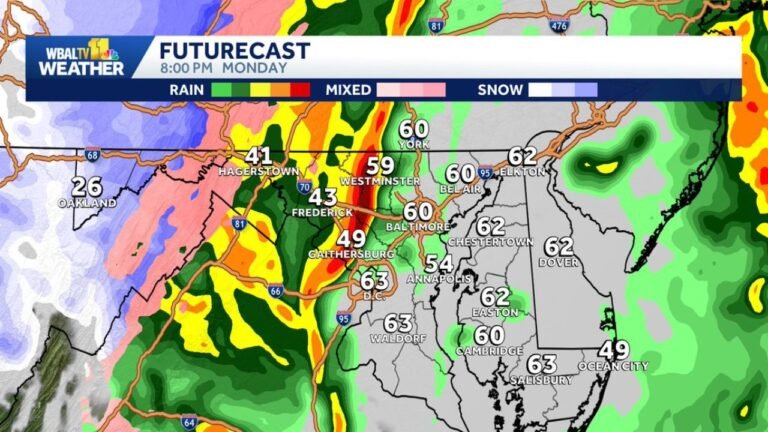
This warming trend is expected to accelerate snowpack loss, especially in urban and suburban areas where plowed snow has accumulated in large piles. Rapid melting may overwhelm drainage systems, increasing the risk of standing water and urban flooding, particularly during overnight refreeze cycles.
Snowmelt, Ice Thinning, and River Ice Jam Risks Increasing
As temperatures rise, snowmelt runoff will become a primary concern across interior sections of the Northeast, Mid-Atlantic, and Upper Midwest. Areas with deep snow cover and frozen ground are especially vulnerable, as meltwater may struggle to absorb into the soil.
Additionally, ponds, lakes, and rivers that formed thick ice during the prolonged cold spell may experience dangerous thinning, creating hazardous conditions for recreational activities. River systems that remain partially frozen could also develop ice jams, where breaking ice obstructs water flow and leads to sudden flooding upstream.
These risks tend to peak during rapid warm-ups following extended cold periods, making the upcoming temperature shift particularly impactful.
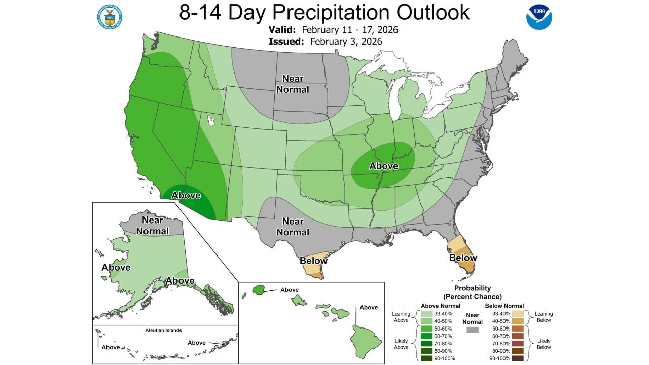
Precipitation Outlook Shows Wetter Pattern for the West
The 8–14 Day Precipitation Outlook indicates near-to-above normal precipitation across large portions of the Western United States, reinforcing expectations for a cooler and wetter pattern in contrast to the East’s warming trend.
Meanwhile, much of the Central and Eastern U.S. is forecast to see near-normal precipitation, meaning snowmelt impacts will be driven more by temperature than heavy rainfall. However, even modest precipitation falling on melting snow could worsen localized flooding conditions.
Why This Pattern Matters Moving Forward
This evolving setup marks a critical transition period in the winter season. A sharp warm-up following widespread snow and ice can stress infrastructure, impact transportation, and strain local flood mitigation systems. Communities with lingering snowbanks, frozen waterways, and aging stormwater systems may feel the effects most acutely.
Weather officials emphasize monitoring conditions closely as mid-February approaches, especially in flood-prone areas and regions with historically active ice-jam rivers.
For continued coverage of major weather shifts, regional forecasts, and climate impacts across the United States, stay connected with ChicagoMusicGuide.com, where we track how evolving weather patterns affect communities nationwide.