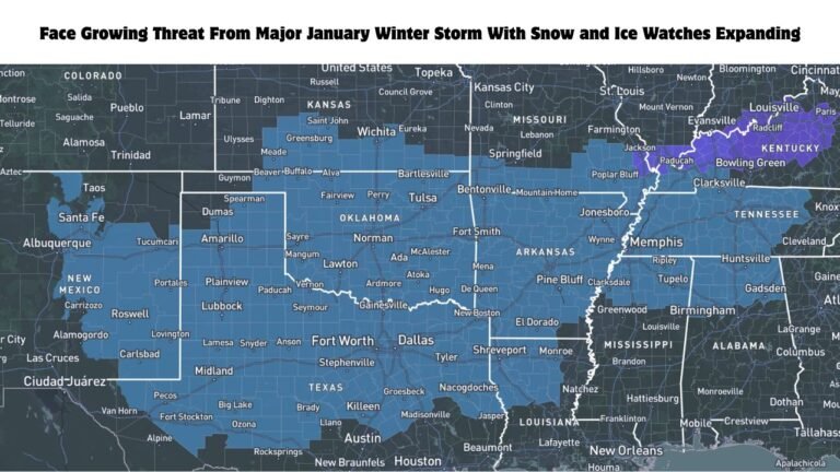
Ohio, Kentucky, West Virginia, Virginia, Tennessee, North Carolina, Georgia Face Wintry Mix, Heavy Rain, and Thunderstorms as Low-Pressure System Moves East
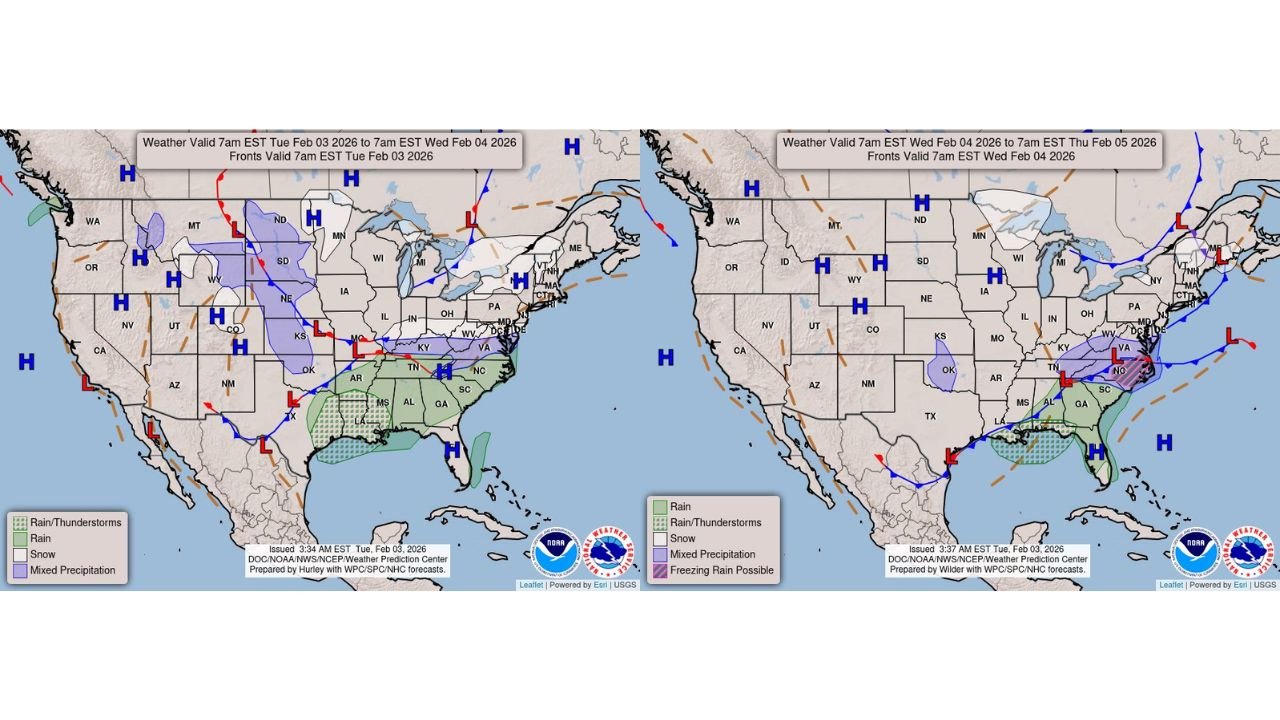
UNITED STATES — A developing low-pressure system is driving a broad swath of unsettled weather across the eastern half of the country, bringing light wintry precipitation from the Ohio Valley into the Mid-Atlantic, while rain and thunderstorms spread from the South into the Southeast through Wednesday.
Weather pattern analysis shows the system tracking eastward, interacting with lingering cold air to the north and warmer, moisture-rich air across southern states — a setup that supports multiple precipitation types across different regions.
Light Snow and Wintry Mix From the Ohio Valley to the Mid-Atlantic
Colder air north of the system is allowing light snow and mixed precipitation to develop from parts of Ohio, Kentucky, and West Virginia eastward into Virginia and Maryland.
Forecast guidance suggests:
- Light accumulations are possible, especially in elevated terrain
- Mixed precipitation may include snow, sleet, and pockets of freezing rain
- Road conditions could become slick, particularly during early morning and overnight periods
While this is not expected to be a major winter storm, cold ground temperatures mean even light precipitation could impact travel.
Rain and Thunderstorms Expand Across the South and Southeast
South of the wintry zone, warmer air is fueling widespread rain and thunderstorms from Tennessee and Georgia into Alabama, the Carolinas, and parts of northern Florida.
Key impacts include:
- Periods of moderate to heavy rainfall
- Localized flooding, especially in low-lying or poor-drainage areas
- Isolated thunderstorms, mainly across the Southeast
Rainfall coverage is expected to increase as the system pushes east, with the heaviest precipitation likely near the Gulf Coast and Southeast coastal plain.
Freezing Rain Risk in Transition Zones
As warm air overrides surface cold air near the boundary zone, pockets of freezing rain are possible, particularly in:
- Parts of Virginia and North Carolina
- Interior sections of the Mid-Atlantic
Even brief freezing rain episodes could lead to slick bridges, untreated roads, and sidewalks, especially overnight into early Wednesday.
Weather Timeline Through Wednesday
- Tuesday: Wintry precipitation develops across the Ohio Valley and Mid-Atlantic; rain and storms increase across the South
- Overnight Tuesday into Wednesday: Mixed precipitation and freezing rain risks peak in transition areas
- Wednesday: System shifts east, with rain lingering along the East Coast before gradually tapering off
What Residents Should Watch For
- Morning commute disruptions in wintry regions
- Localized flooding concerns in heavy rain areas
- Rapid weather changes over short distances due to temperature contrasts
Drivers are urged to stay alert for changing road conditions, especially where precipitation type may shift quickly.
Looking Ahead
Behind the system, conditions are expected to gradually improve, though cooler air may return to parts of the Midwest and Northeast later in the week.
For continued updates on evolving weather conditions, stay connected with Chicagomusicguide.com for the latest forecasts, impact breakdowns, and regional updates.