Central Maryland Could See Another Sunday Snow Chance as Canadian Model Holds Steady and the Euro Keeps Flipping
BALTIMORE, MARYLAND — Another potential Sunday system is back on the radar for Central Maryland, and many residents are understandably worn out from weeks of snow, ice, and cold. Right now, the signal isn’t a lock—what stands out most is the tug-of-war between forecast models on whether Central Maryland ends up on the snowy side of the line or sees mostly rain.
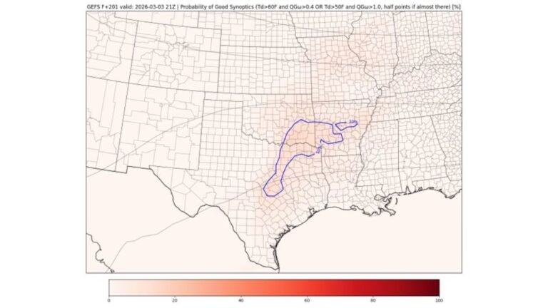
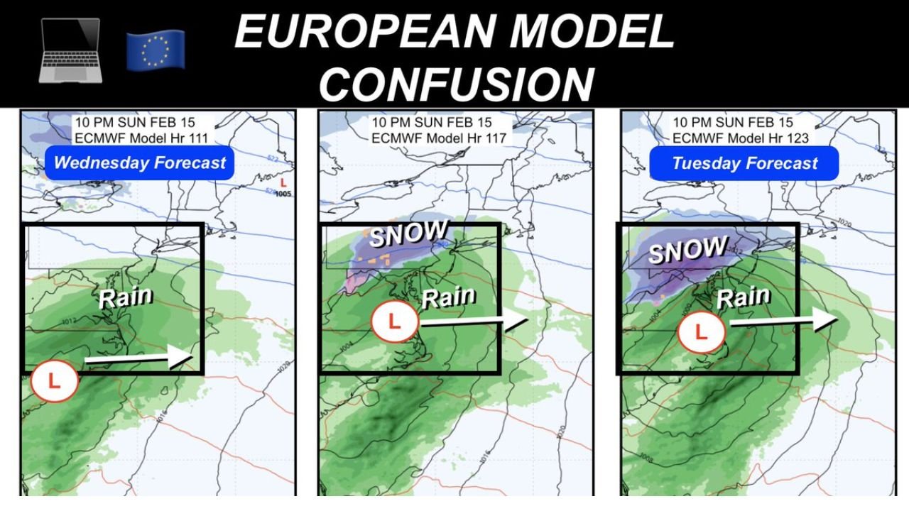
The Canadian (GEM) model has remained notably consistent, continuing to show snow near Central Maryland with rain farther south. Meanwhile, the European ECMWF operational model has been far less stable, flipping solutions from run to run and even pushing the storm too far south in earlier guidance.
Model Split: Canadian Consistency vs. ECMWF Uncertainty
The headline takeaway is simple: Canadian guidance is “locked in” on a similar track and precipitation setup, while the ECMWF is changing frequently—sometimes dramatically. That doesn’t mean one model is automatically right, but it does highlight how sensitive this setup may be.
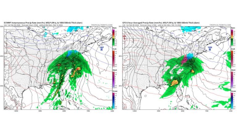
One reason the forecast is still in flux is timing. The energy for this system is still offshore—off the California coast—and isn’t expected to move inland until Friday. Until that energy gets sampled more directly by the observing network, model solutions can wobble, and small shifts in track can change who gets snow, who gets sleet, and who gets cold rain.
Forecasters often watch for “trend” more than any single run. In this case, the Canadian model’s steady output is a trend in itself. The ECMWF’s rapid changes every cycle are a reminder that the atmosphere hasn’t “made up its mind” yet—at least not in a way models can consistently capture.
Why This Weekend Could Be Tricky for Central Maryland
Central Maryland has a couple of local factors that can complicate a rain-versus-snow outcome. One is the existing snowpack and ice that can keep near-surface temperatures cooler than you’d expect, especially at night. Another is that even if daytime readings climb above freezing, the timing of precipitation can still allow a colder window to open up later.
This also lines up with a key point being emphasized: if snow happens, it may not be because the entire air mass is frigid from start to finish. Instead, it could be tied to dynamic cooling—a process where a strengthening storm generates enough lift and precipitation intensity to cool the column, flipping rain to snow in spots even after a milder day.
That scenario often creates sharp gradients. You can have wet snow falling in one corridor while areas not far away stay rain. That’s why residents shouldn’t overreact to a single app screenshot—many apps lean heavily on one model suite and can swing wildly with each update.
Holiday Weekend Timing and What It Means for Daily Plans
Another practical detail: this is a holiday weekend, so the system is not expected to impact schools the way a midweek storm might. That said, travel plans and nighttime events can still be affected if a quick burst of snow develops.
If the storm’s highest-impact window is overnight, it can still produce accumulating snow even if the day before was mild and the day after rebounds above freezing. Nighttime events are also when roads can cool faster, and slushy spots can become slick if temperatures dip just enough.
Here’s the most realistic planning mindset for Maryland heading into the back half of the week:
- Expect forecast swings until the system is better sampled closer to Friday.
- Treat early snowfall maps as range-based guidance, not a promise.
- If snow occurs, it may be late and tied to dynamic cooling, not an all-day winter storm.
- A warm-up next week is still on the table, even if this system adds a little to seasonal totals.
What to Watch Over the Next Few Days
The best “tell” for Central Maryland will be whether models start converging on a similar storm track and precipitation boundary by late Thursday into Friday. That timeframe often marks the beginning of the more reliable window, when it becomes reasonable to talk about a first estimate on snowfall potential—if any.
Key things to monitor in updated runs:
- Does the Canadian model remain consistent as the energy moves inland?
- Does the ECMWF settle down into a more repeatable solution?
- Where does the rain/snow line set up relative to Central Maryland?
- Is this shaping up as a nighttime event, when dynamic cooling has more room to work?
It’s also worth remembering that late-winter systems often require either a stronger storm or a nighttime window to produce meaningful snow when daytime temperatures trend marginal. That may be the theme as the season progresses—winter isn’t necessarily “over,” but the bar for big impacts can rise as daylight and background temperatures increase.
As Central Maryland weighs one more possible winter cameo, the best move is to stay flexible until late-week guidance tightens. For continued updates on changing forecasts, travel-impact timing, and weather patterns affecting fans and events across the region, visit ChicagoMusicGuide.com.