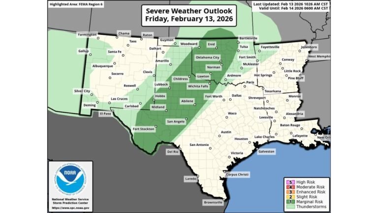
Alabama Weekend Rain Arrives Before Dawn Sunday as HRRR Shows Limited Instability and Very Low Severe Threat Outside Mobile and Baldwin Counties
BIRMINGHAM, ALABAMA — A widespread area of rain is expected to move into Alabama after midnight Saturday night, arriving during the pre-dawn hours Sunday, according to the latest HRRR model guidance. While the radar signature may look impressive at times, atmospheric instability across most of the state appears limited, keeping the severe weather threat very low for the majority of communities.
The only exception may be across Mobile County and Baldwin County, where a small amount of surface-based instability could support isolated thunder.
Large Rain Shield Expands North Through Alabama
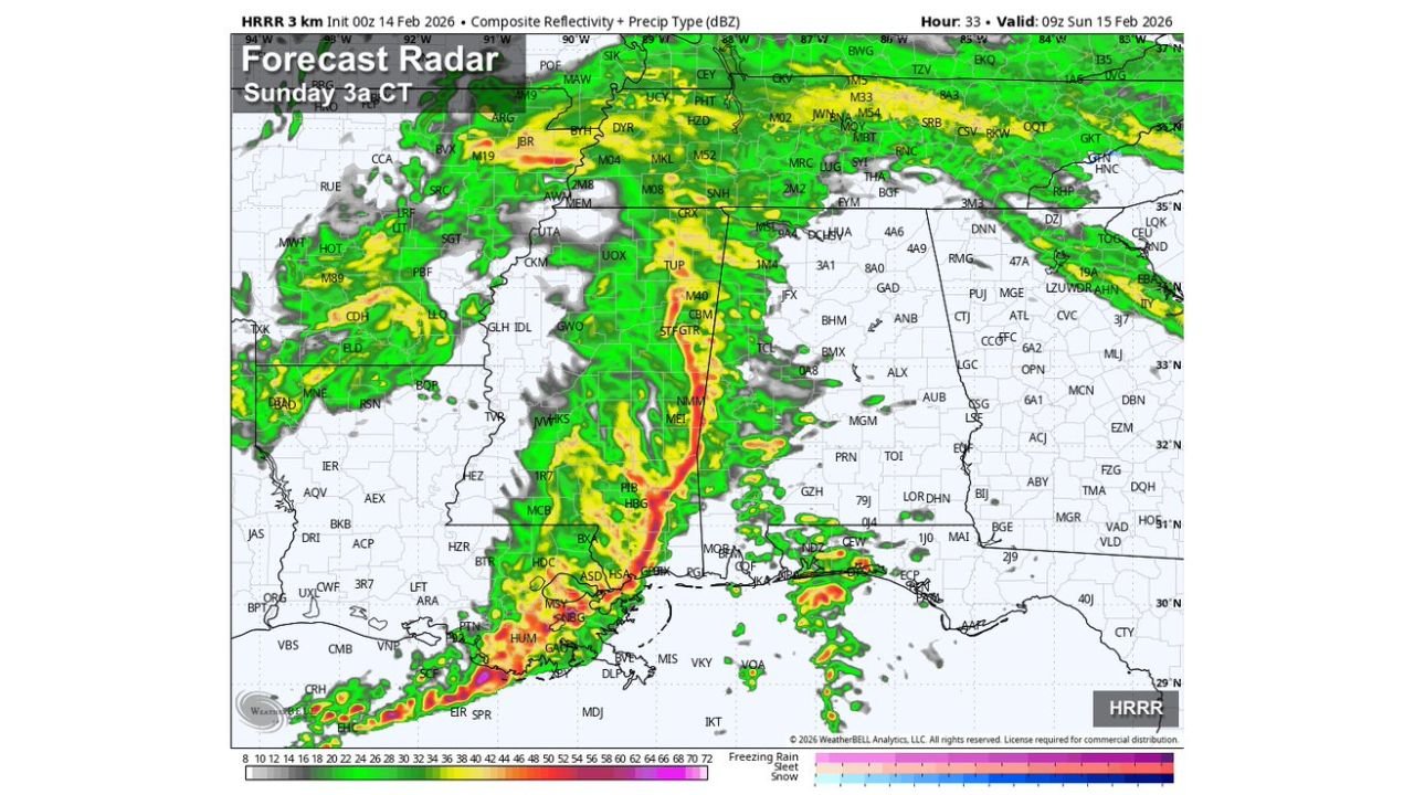
Forecast radar projections valid around 3 a.m. Sunday (09Z) show a broad band of moderate to heavy rain stretching from coastal Louisiana and Mississippi northward into central Mississippi and western Alabama. Embedded heavier cores appear within the line, especially along and just north of the Gulf Coast.
By early Sunday morning, the rain shield is projected to overspread much of southwest and central Alabama, including areas near Mobile, Montgomery, Tuscaloosa, and Birmingham. The northern tier of the state may see lighter, more stratiform rainfall compared to the heavier convective elements farther south.
Rainfall totals are expected to range from 0.5 to 1 inch for most communities, with localized higher amounts possible where heavier bands persist.
Instability Limited Across Most of the State
Surface-based instability, measured by CAPE (Convective Available Potential Energy), remains notably low across much of Alabama in the forecast data.
The instability map valid around 3 a.m. Sunday shows:
- Near-zero CAPE across central and northern Alabama
- Only modest instability confined to Mobile and Baldwin counties
- Higher CAPE values offshore over the central Gulf of Mexico
This lack of instability significantly reduces the potential for organized severe thunderstorms inland. Without sufficient surface-based instability, storms struggle to intensify into damaging wind producers or tornado threats.
While isolated thunder cannot be ruled out in southwest Alabama, especially near the Gulf Coast, the broader statewide risk remains minimal.
Severe Weather Risk Remains Very Low
Despite the organized appearance of the rain band, forecasters emphasize that this event is primarily a rainfall producer, not a widespread severe outbreak.
The small pocket of instability near the coast could allow:
- Isolated rumbles of thunder
- Brief heavier downpours
- Gusty winds in localized spots
However, the overall severe risk across central and northern Alabama is considered very low given the stable surface conditions.
Residents in Mobile and Baldwin counties should monitor updates, but even there, the risk appears marginal rather than widespread.
Timing and Travel Impacts
The most impactful period appears to be between midnight and mid-morning Sunday, when steady rainfall could create wet roadways and reduced visibility.
Motorists traveling during early Sunday morning hours — especially along major corridors such as I-65, I-10, and I-20 — should plan for slick conditions.
With rainfall totals generally capped near one inch for most areas, widespread flooding is not expected. However, localized ponding on roadways could develop in heavier bursts.
What Alabama Residents Should Expect
In summary, this weekend system will bring:
- Widespread rain entering after midnight
- 0.5 to 1 inch of rainfall for most communities
- Minimal instability statewide
- Very low severe weather risk outside the southwest corner
The combination of limited surface-based instability and primarily stratiform rain suggests a typical winter rain event rather than a high-impact severe weather scenario.
As always, forecast details may adjust slightly with updated model runs, but current guidance supports a rain-dominant outcome.
For continued updates on Alabama weather patterns, weekend storm developments, and regional forecast analysis, visit ChicagoMusicGuide.com for the latest coverage.