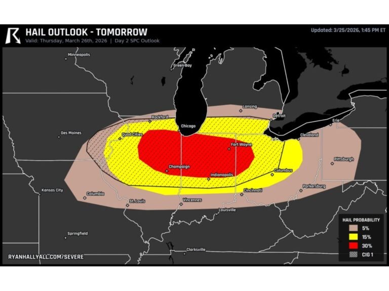
Texas and Oklahoma Face Wednesday Supercell Threat as Dallas–Fort Worth and Wichita Falls Sit Inside 15% Severe Risk Zone
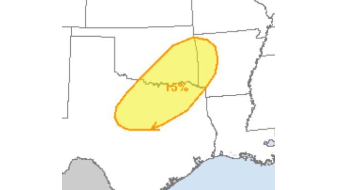
TEXAS — Parts of North Texas and southern Oklahoma are under a growing threat for organized severe thunderstorms Wednesday afternoon and evening, with forecast guidance highlighting a 15% severe risk zone stretching from near Dallas–Fort Worth west toward Wichita Falls and into southern Oklahoma.
The developing setup could support supercells capable of producing damaging winds and large hail. While the tornado threat currently appears lower, it cannot be ruled out if storms mature and organize fully.
15% Severe Risk Centered Over North Texas and Southern Oklahoma
The highlighted severe corridor includes:
- Dallas
- Fort Worth
- Wichita Falls
- Southern Oklahoma
- Parts of western Arkansas
This zone represents the area most likely to see storms develop into rotating supercells rather than ordinary thunderstorms.
Supercells Could Produce Large Hail and Damaging Winds
Forecast discussions indicate that thunderstorms developing Wednesday afternoon may quickly organize as instability builds across the Southern Plains.
Primary threats include:
- Large hail
- Damaging straight-line winds
- Isolated tornado potential if storms remain discrete
Supercells are rotating thunderstorms that can persist longer and intensify more efficiently than typical storms. If storms remain isolated rather than forming a solid line, the risk for stronger severe impacts increases.
Timing: Wednesday Afternoon Into Evening
Storm initiation is expected during the afternoon hours, with the strongest activity likely continuing into the evening.
Areas along and north of the I-20 corridor, including the Dallas–Fort Worth metroplex, will need to monitor radar closely as storms approach from the west or southwest.
Tornado Threat Low — But Not Zero
Current projections suggest the tornado risk is limited. However, forecasters caution that:
- Storm evolution remains uncertain
- Any supercell that taps stronger low-level shear could briefly rotate
- Conditions can change quickly as mesoscale features develop
Residents across North Texas and southern Oklahoma should remain weather aware, especially during the late-day and evening hours.
Why This Setup Matters
Southern Plains severe weather events often hinge on subtle atmospheric details. If:
- Moisture return strengthens
- Wind shear profiles become more favorable
- Storms remain discrete
the severe threat could trend upward.
Conversely, if storms quickly merge into clusters, the primary concern may shift toward damaging winds rather than hail or tornadoes.
Bottom Line
Dallas, Fort Worth, Wichita Falls and southern Oklahoma sit within a 15% severe weather risk zone for Wednesday, with supercells capable of large hail and damaging winds possible.
While the tornado risk appears low for now, it cannot be completely dismissed.
ChicagoMusicGuide.com will continue monitoring forecast updates as Wednesday’s Southern Plains severe weather setup becomes clearer.