District of Columbia, Maryland, Virginia, and Pennsylvania Face 80-Degree-to-Snow Swing as Powerful Cold Front Triggers Thundersnow Threat Across the Mid-Atlantic
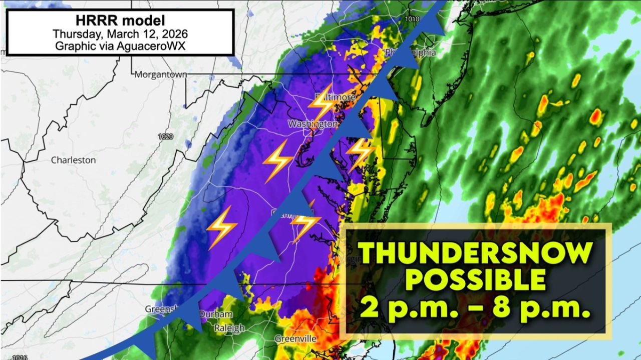
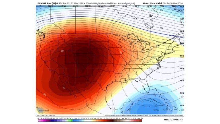
WASHINGTON, DISTRICT OF COLUMBIA — A powerful cold front that brought tornadoes and melon-sized hail in Illinois is now racing across the Mid-Atlantic, setting up a rare and dramatic weather reversal from near 80-degree warmth to heavy, wet snow — possibly with thunder and lightning — within 24 hours. Forecast guidance for Thursday, March 12, 2026, shows rapidly falling temperatures behind the front, with conditions supportive of thundersnow between 2 p.m. and 8 p.m. across parts of Washington DC, Maryland, Virginia, and Pennsylvania.
Meteorological models indicate the same dynamic system responsible for severe weather in the Midwest is now scouring out warm air along the East Coast, creating a volatile atmospheric setup not commonly seen this late in the season.
From Severe Midwest Storms to Mid-Atlantic Snow
The advancing cold front previously unleashed tornadoes and large hail in Illinois, demonstrating the strength of the parent storm system. As it moves eastward, it is colliding with warm, unstable air that surged northward earlier in the week.
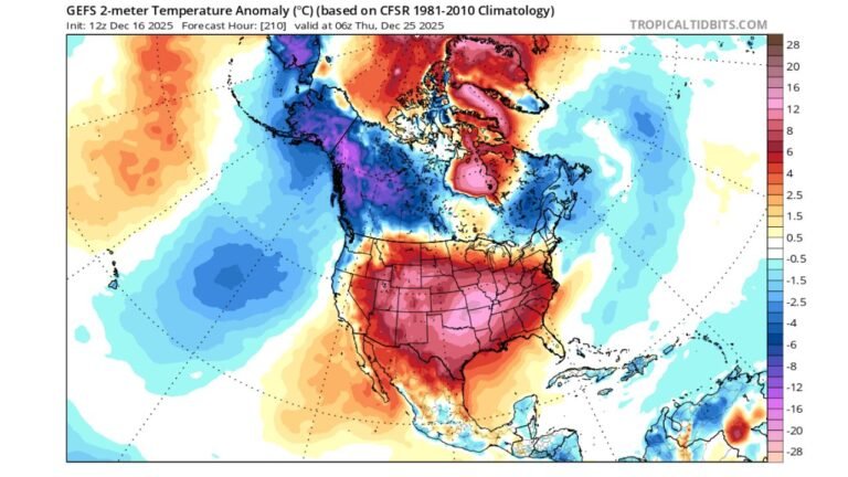
In Washington DC, temperatures climbed close to 80 degrees, contributing to spring-like conditions before the frontal passage. However, model projections show temperatures plunging rapidly once the cold air undercuts the region. This rapid cooling creates a narrow but intense transition zone where rain can quickly flip to heavy, wet snow.
The dramatic reversal highlights how quickly air masses can change in March across the Mid-Atlantic, especially when strong upper-level dynamics are involved.
Thundersnow Window: 2 p.m. to 8 p.m.
High-resolution forecast models, including the HRRR model, suggest a corridor of instability along the front Thursday afternoon. That instability may be sufficient to produce isolated lightning strikes embedded within heavy snow bands, a phenomenon known as thundersnow.
The projected window for thundersnow development runs roughly from 2 p.m. to 8 p.m., primarily impacting portions of:
- Washington DC
- Baltimore, Maryland
- Northern and central Virginia
- Southern Pennsylvania
Thundersnow occurs when strong upward motion within a cold environment generates enough charge separation for lightning. While rare, it is not unheard of during intense frontal passages in transitional seasons.
Any lightning strikes that reach the ground could disproportionately affect tall human-made structures, including radio towers, television towers, cell towers, skyscrapers, and wind turbines, due to their elevated profiles.
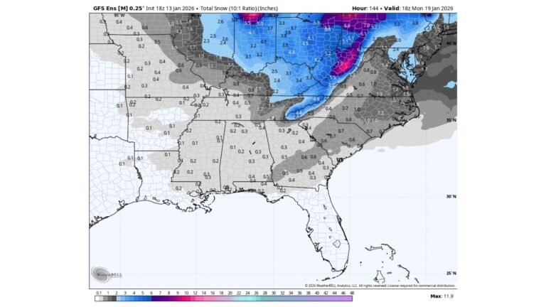
Snowfall Rates Could Exceed 2 Inches Per Hour
Forecasters caution that snowfall rates could briefly exceed 2 inches per hour in the heaviest bands. These bursts would be short-lived but capable of rapidly reducing visibility and creating hazardous travel conditions.
However, widespread accumulation may be limited in urban areas such as Washington DC because ground temperatures remain relatively warm following the recent heat. Much of the snow could melt on contact or shortly after falling, particularly on roadways and paved surfaces.
Higher elevations and grassy surfaces across parts of Maryland, Virginia, and southern Pennsylvania may see temporary slushy accumulations before temperatures stabilize later in the evening.
A Rapid 80-Degree to Snow Transition
One of the most striking aspects of this system is the speed of the transformation. In less than 24 hours, the region could experience:
- Near 80-degree warmth
- Thunderstorm potential
- A sharp temperature crash
- Transition to heavy, wet snow
- Possible lightning within snowfall
This type of atmospheric whiplash is driven by strong jet stream energy and a deepening upper-level trough pushing cold air southward at an accelerated pace. When warm-sector air is abruptly displaced, precipitation type can change quickly and dramatically.
For commuters and event planners across Washington DC, Maryland, Virginia, and Pennsylvania, Thursday may bring rapidly evolving conditions, especially during the afternoon and early evening hours when snowfall rates could peak.
As the Mid-Atlantic prepares for this unusual combination of late-season heat, severe weather, and potential thundersnow, it serves as another reminder of how volatile early spring patterns can become when powerful storm systems sweep across multiple regions.
For continued updates on major weather developments affecting communities across the Mid-Atlantic and beyond, visit ChicagoMusicGuide.com.