Los Angeles, Santa Clarita and Moreno Valley Brace for Sudden Storm Shift as Southern California Swings from Fire Risk to Rain and Thunder Threat
LOS ANGELES, CALIFORNIA — A dramatic weather reversal is taking shape across Southern California, where cities like Los Angeles, Santa Clarita, and Moreno Valley are expected to transition from recent dry heat and fire-prone conditions to a wetter and potentially stormy pattern beginning late next week.
Forecast data indicates that Thursday through Saturday could bring increasing rainfall chances and even isolated thunderstorms, marking a sharp shift after weeks of dry conditions and Santa Ana wind-driven fire concerns.
Double Storm System Targets Southern California Next Week
The developing pattern is being driven by a complex “double storm axis”, with energy arriving from both:
- The Pacific near Hawaii
- The Gulf of Alaska
This setup is expected to funnel moisture back into California, reversing the recent dry trend and allowing storm systems to redevelop across Southern California.
Cities expected to be impacted include:
- Los Angeles and surrounding metro areas
- Santa Clarita Valley
- Moreno Valley and Inland Empire regions
This incoming system could introduce rain bands, unstable air, and even thunderstorm potential, especially as moisture deepens late in the week.
From Extreme Heat to Fire Conditions in Just Days
The shift comes after a volatile stretch of weather that included:
- Record-breaking heat in mid-March
- Very limited rainfall, with only brief relief around March 31
- Resurfacing Santa Ana winds in the past 24 hours
These conditions rapidly dried out vegetation across Southern California, creating an environment that allowed fast-growing fires in areas like Santa Clarita and Moreno Valley.
The speed of this transition—from heat to fire risk to incoming rain—highlights how unstable the current pattern has become.
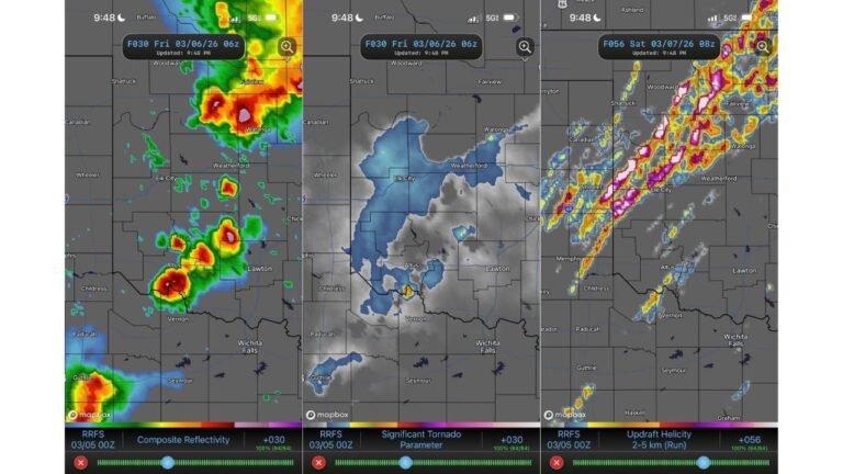
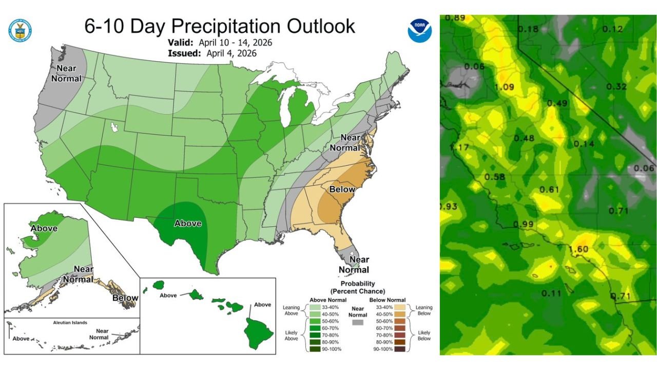
Rainfall Totals and Thunderstorm Potential
Forecast guidance suggests that rainfall totals could vary across the region, with some localized areas seeing:
- Moderate rainfall accumulations
- Isolated heavier pockets of precipitation
- Embedded thunderstorm activity in unstable zones
While exact totals remain uncertain, the broader signal points to a meaningful increase in moisture compared to recent weeks.
This could bring temporary relief from fire danger, but it also raises concerns about:
- Runoff issues in recently burned or dry areas
- Rapid changes in local weather conditions
A Volatile “Feast or Famine” Pattern Across California
The current setup reflects a broader trend across California, where weather conditions are rapidly swinging between extremes.
In just a short span, the region has experienced:
- Dry heat and drought-like conditions
- Wind-driven fire risk
- Now shifting toward rain and possible storm activity
This “feast or famine” cycle is becoming increasingly noticeable, with fast transitions that leave little time for gradual adjustment.
What Residents Should Expect Moving Forward
As the system develops, residents in Los Angeles, Santa Clarita, and Moreno Valley should prepare for:
- Increasing cloud cover and cooler conditions late next week
- A growing chance of rain showers and isolated storms
- Potential for quick-changing weather conditions
At the same time, attention is also turning toward Hawaii, where additional flooding concerns may develop earlier in the week, highlighting how this broader Pacific pattern is influencing multiple regions.
Southern California is expected to remain in a more active weather phase, with higher confidence in storminess returning compared to earlier forecasts.
For continued updates on shifting weather patterns, storm developments, and regional forecasts, visit ChicagoMusicGuide.com and stay ahead of rapidly changing conditions.