Central Indiana Faces Soaking Weekend with Strong Storms, Flooding Possible
INDIANAPOLIS, IN — Central Indiana is in for a soggy and stormy weekend, with strong thunderstorms, damaging winds, and localized flooding all on the radar starting Friday night and continuing through Sunday.
According to WISH-TV, a series of weather systems will sweep through the region, triggering multiple rounds of rain and thunderstorms with peak storm activity likely on Saturday afternoon.
Friday Brings Humid Air and Spotty Showers
Friday starts off with scattered showers and possibly a stray thunderstorm early in the morning. The skies are expected to dry out by late morning, leaving behind high humidity and temperatures in the mid-80s for much of the day.
Overnight, however, another round of storms is possible, especially after midnight, as an upper-level wave moves in.
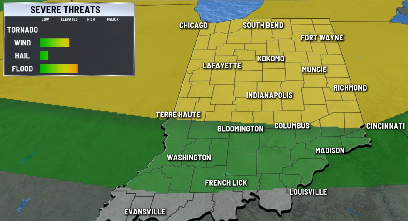
Saturday’s Main Storm Risk: 2–8 PM
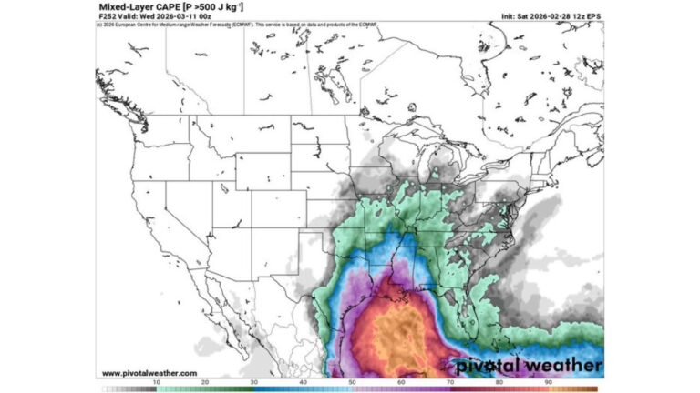
The most active weather is forecast for Saturday afternoon between 2 PM and 8 PM, when a mesoscale convective system (MCS) is expected to enter Indiana from the west. This system could bring:
- Damaging winds
- Large hail
- A low chance for isolated tornadoes (mainly in far northern Indiana)
- Heavy rainfall rates of 1–2 inches per hour
Localized flooding will be a primary concern, especially in areas that receive multiple rounds of heavy downpours.
Sunday: Rain Lingers with Slightly Lower Storm Risk
Rain and thunderstorms will remain a concern into Sunday, although the threat of severe storms will be slightly reduced. Still, persistent moisture and unstable air will create the potential for gusty thunderstorms and more flooding in already saturated areas.
It’s unlikely to rain all day Sunday, but storms could develop at any time, especially in the afternoon.
Temperatures are expected to stay in the mid-80s both days, which is typical for this time of year.
Next Week: Heat Wave Building
The rain may let up by midweek, but it’ll be replaced by a heat dome building over the eastern U.S. By Wednesday, expect highs in the low to mid-90s and heat indices of 105–110°F.
No major break in the heat is expected through the end of July.
Stay Safe This Weekend
If you live in Central Indiana or plan to travel there, keep a close eye on the local radar, especially Saturday afternoon and Sunday.
Avoid flooded roads and plan indoor alternatives for any outdoor events.