Arctic Blast to Slam New Hampshire This Weekend, Creating Hazardous I-93 Travel Through Early December
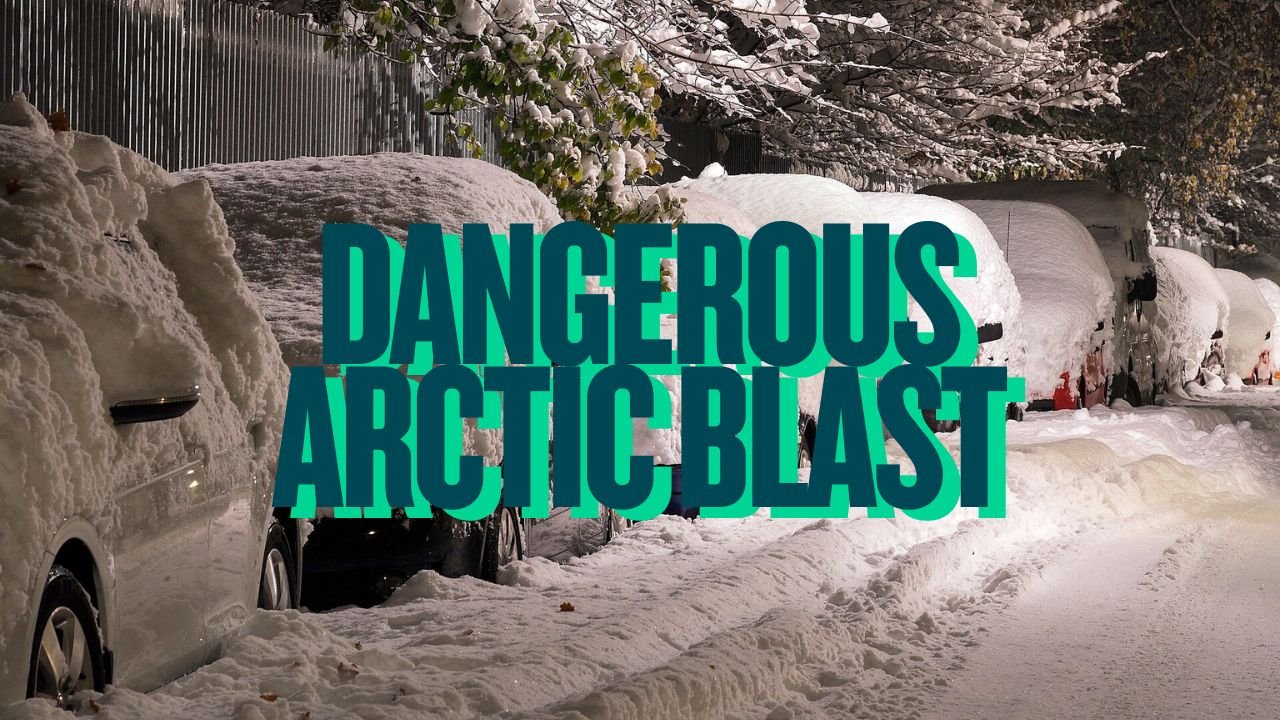
CONCORD, NEW HAMPSHIRE — A powerful Arctic air mass is set to surge into New Hampshire starting Saturday, November 30, bringing the coldest temperatures of the season and creating dangerous early-December travel conditions along the high-traffic I-93 corridor. Forecasters say the sudden plunge into winter will stretch well into the first week of December.
Arctic Front Will Bring Subzero Wind Chills and Rapid Freeze
Meteorologists at the National Weather Service warn that a strong Arctic front descending from Canada will send temperatures sharply below normal. Early guidance from the Climate Prediction Center shows a 50–70% chance of below-average temperatures, with northern areas likely to experience:
- Single-digit lows
- Subzero wind chills
- Dangerous early-morning freeze conditions
This marks New Hampshire’s first major winter outbreak of the season, following weeks of relatively mild fall weather.
I-93 Drivers Should Expect Hazardous Travel Conditions
Travelers using Interstate 93 — from Manchester through Concord and up toward Franconia Notch — should prepare for challenging and potentially dangerous weather beginning late this weekend.
Forecasters warn of multiple road hazards:
- Icy pavement from rapid overnight freezing
- Blowing snow reducing visibility north of Concord
- Gusty winds causing drifting in open stretches
- Sudden visibility drops at higher elevations
- Dangerously cold wind chills for stranded drivers
An NWS briefing emphasized the seriousness of the conditions:
“Drivers should anticipate sudden visibility drops and slick patches, particularly early in the morning when temperatures are coldest.”
The coldest mornings — Monday, Dec. 2 and Tuesday, Dec. 3 — pose the greatest concern for commuters.
Timeline of the Early-December Arctic Blast
Saturday, Nov. 30
Arctic front enters northern New Hampshire; temperatures fall sharply at night.
Sunday, Dec. 1
Subzero wind chills develop in Coös County; freeze conditions spread south.
Monday–Tuesday, Dec. 2–3
Most hazardous period.
I-93 travel risks increase as icy roads, blowing snow, and gusty winds combine with the coldest temperatures of the season.
Wednesday, Dec. 4 and beyond
Temperatures gradually moderate but remain colder than normal statewide.
This transition officially signals the start of New England’s deep-winter weather pattern.
Key Facts to Know
- Location: Statewide, highest impacts north of Concord
- Primary Hazard: Arctic outbreak, subzero wind chills
- Travel Concern: I-93 corridor from Manchester → Concord → White Mountains
- Timing: Nov. 30 – Dec. 4 (peak: Dec. 2–3)
- Threats: Icy roads, blowing snow, frost formation, dangerous wind chills
State Officials Urge Residents to Prepare
New Hampshire Emergency Management officials are urging the public to prepare before temperatures drop:
“Check your vehicles, heating systems, and emergency supplies. Arctic outbreaks like this can be dangerous if people are caught unprepared.”
Residents are advised to:
- Inspect tires, antifreeze levels, and heaters
- Keep extra blankets and water in vehicles
- Allow extra commute time Monday and Tuesday
- Dress in layers to reduce frostbite risk
- Monitor local weather advisories for sudden changes
With wind chills falling below zero in the north, even short exposure can lead to cold-related injuries.
Why This Arctic Blast Matters
Early-season Arctic outbreaks often have outsized impacts because:
- Road crews are still transitioning into winter operations
- Drivers are not yet fully adjusted to winter conditions
- Heating systems have not been stress-tested
- Frost, ice, and blowing snow increase accident risk
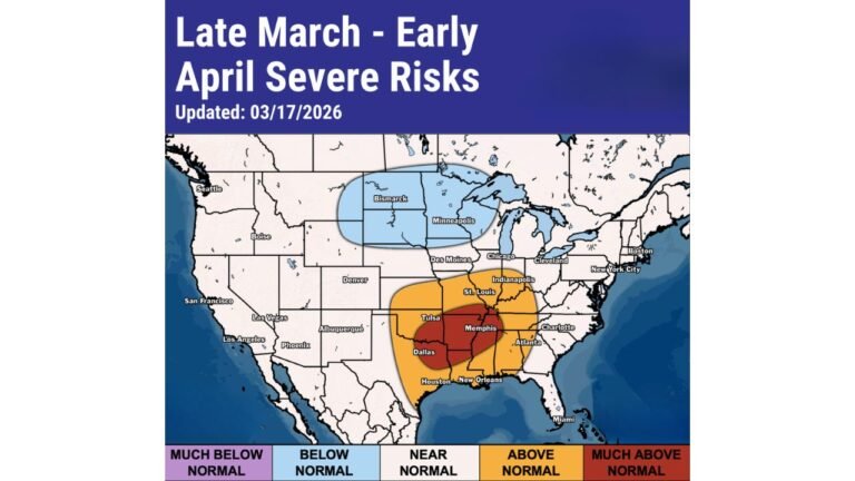
This event also fits the emerging winter pattern: a sharp contrast between extreme northern cold and unusually warm conditions in the southern U.S. — a setup that can repeat through winter.
Final Outlook
New Hampshire is preparing for a dangerous and prolonged Arctic blast that will challenge residents and holiday travelers alike. With I-93 expected to see icy surfaces, blowing snow, and hazardous visibility, drivers should plan ahead and take extra precautions through early next week.
Have you experienced hazardous winter travel on I-93? Share your story on ChicagoMusicGuide.com.