Northern Vermont Snow System to Create Slippery Travel on I-91, I-89 and Route 302 Through Early Monday

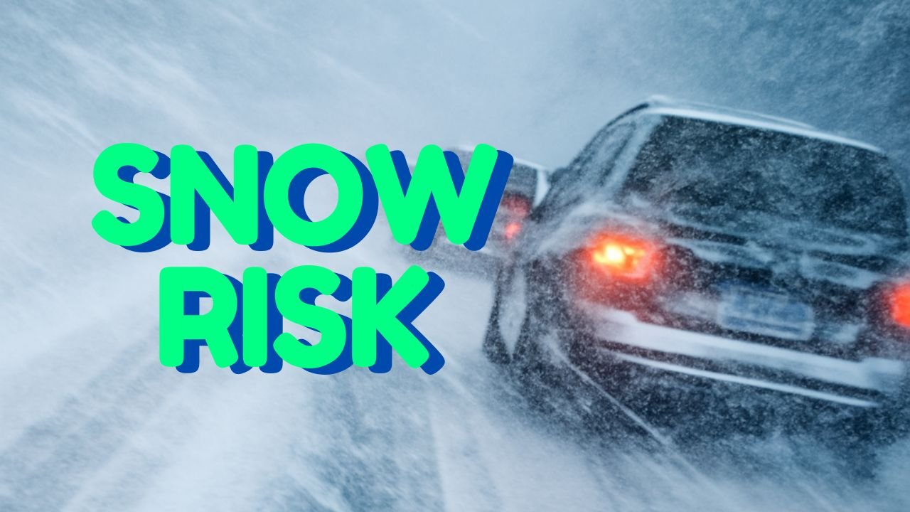
BURLINGTON, VT – A developing winter system is bringing light snow and rapidly changing travel conditions across northern Vermont from Sunday morning through early Monday, prompting warnings for drivers along key corridors including I-91, I-89, Route 302, and roadways through the Green Mountains.
According to the National Weather Service in Burlington, snowfall will begin Sunday morning and continue into the evening before tapering off Monday. While valley areas such as Burlington and Montpelier will likely see less than an inch, elevated terrain including Stowe, Lincoln, and portions of the Northeast Kingdom could pick up up to 3 inches of accumulating snow.
The mixture of snow and rain in lower elevations may hide slick spots on well-traveled roads, raising concerns for both commuters and holiday travelers.
Higher Elevations Face the Most Impact as Snow Builds Through the Day
Meteorologists say the greatest impacts will occur in northern Vermont’s higher terrain, especially along:
- Interstate 91
- Interstate 89
- Route 302
- Green Mountain passes
As snow develops Sunday morning, elevation will play a key role in how quickly roads become slick. Drivers traveling through the Northeast Kingdom and St. Lawrence Valley can expect steadier snowfall, with colder temperatures helping accumulation form earlier in the day.
Travel issues may continue overnight into Monday morning as temperatures drop and untreated roads freeze.
Snow and Rain Mix for Valleys, But Monday Commute Remains a Concern
Champlain and Connecticut Valley communities will see more mixing, with precipitation transitioning between light snow and rain through the afternoon. Even so, road conditions could still deteriorate during periods of heavier showers, especially where slush begins to refreeze.
The National Weather Service warns that although accumulations may be modest, timing is critical — with the heaviest snowfall expected during peak travel hours Sunday afternoon and evening.
Motorists should prepare for:
- Reduced visibility
- Patchy slick spots
- Possible delays on mountain roads
- Slow-moving traffic in higher elevations
The system is expected to linger long enough to potentially affect parts of the Monday morning commute, especially in northern and eastern zones where flurries will remain.
Residents Urged to Plan Ahead and Monitor Changing Conditions
Local officials are encouraging drivers to check road condition apps and local weather updates before heading out, especially if traveling across the Green Mountains or along highways prone to elevation-based snowfall.
Snowfall amounts will remain light overall, but forecasters note that early-season snow can be deceiving — creating icy patches even with minor accumulations.
Drivers are advised to:
- Reduce speed on mountain roads
- Allow extra time for travel
- Keep headlights on during snow showers
- Watch for sudden changes in elevation and surface conditions
Additional advisories may be issued if snowfall intensifies or if freezing temperatures create hazardous late-night travel challenges.
Five-Day Forecast for Burlington, Vermont
Sunday: Light snow early, mixing with rain by afternoon. High near 35°F. Less than 1 inch expected.
Monday: Flurries early, mostly cloudy. Highs in the mid-30s.
Tuesday: Partly sunny and colder. High around 28°F.
Wednesday: Mostly sunny. High near 30°F.
Thursday: Chance of light snow late. Highs in the low 30s.
Stay Connected with ChicagoMusicGuide.com
Weather can change quickly in the Northeast, and we’ll continue tracking updates that may affect travel, outdoor events, and winter activities. Stay tuned to ChicagoMusicGuide.com for more weather alerts, music features, and regional updates.
