Maine Faces Dangerous Arctic Blast Thursday With Snow Squalls, Flash Freeze Risk, and Wind Chills Near –20°F
CARIBOU, ME — Northern Maine is gearing up for a dangerous round of winter weather as an arctic front sweeps across the region Thursday, bringing snow squalls, rapidly falling temperatures, and wind chills that could plunge as low as –20°F, according to the National Weather Service (NWS) office in Caribou.
Light Snow Ends Wednesday Before Stronger System Arrives Thursday
Forecasters say lingering light snow will taper early Wednesday morning, giving way to a dry but cold day. Highs are expected to reach only the mid-20s to lower 30s, with breezy conditions keeping the air feeling colder.
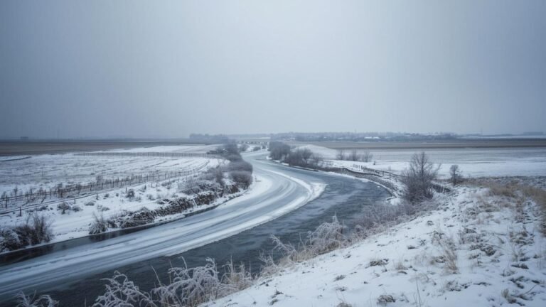
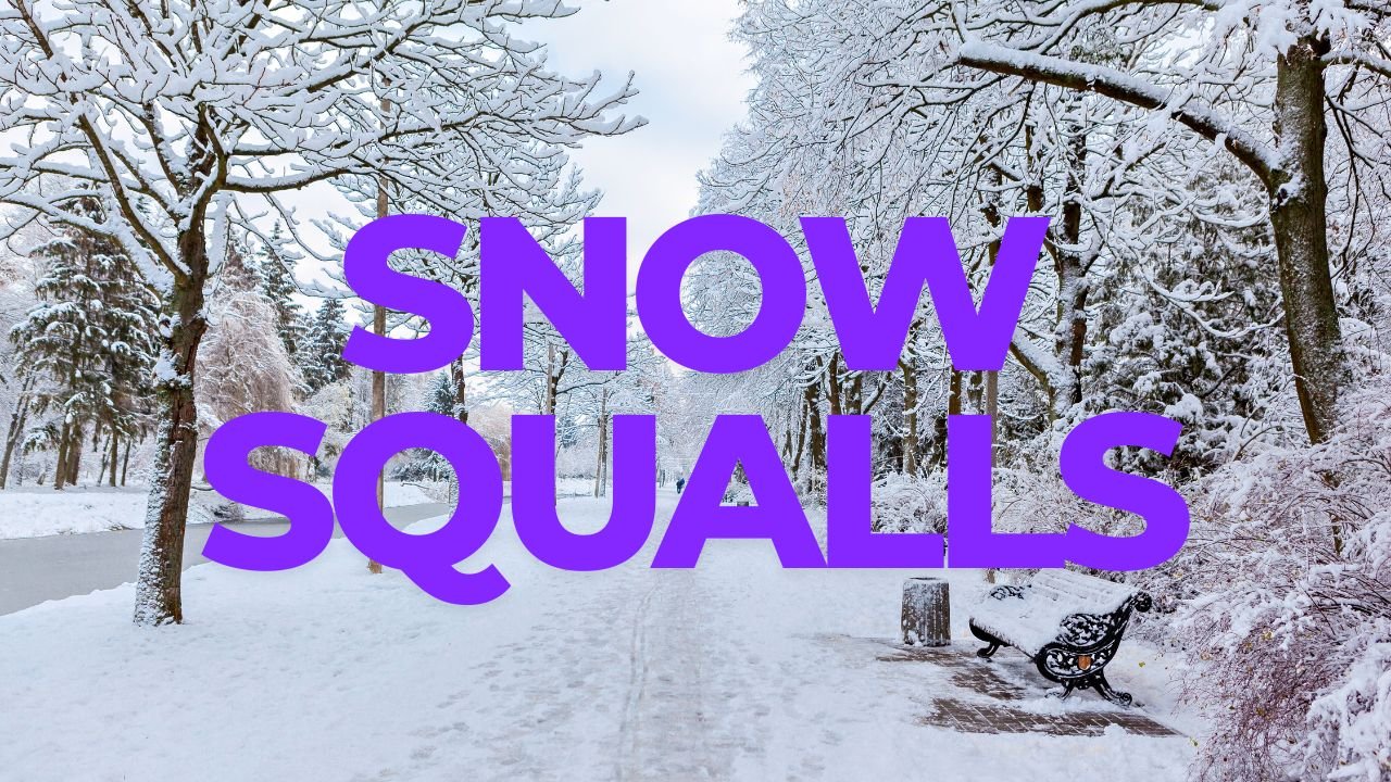
The calm stretch will be short-lived. By Thursday, a stronger disturbance will move through the region, producing new rounds of snow showers and squalls. Some of these squalls could be intense enough to reduce visibility in seconds, particularly across interior counties and higher elevations.
Flash Freeze Expected as Temperatures Plunge Into Single Digits
Behind the cold front, temperatures will drop sharply Thursday afternoon — a shift dramatic enough to trigger a flash freeze on roads and sidewalks.
Weather models show temperatures falling from just above freezing to the single digits within a few hours, creating icy patches on untreated surfaces across northern and central Maine. Travel may become hazardous quickly, especially during the afternoon and evening hours.
Wind Chills Near –20°F Overnight; Coldest in the Far North
By Thursday night, the arctic air deepens. The NWS warns that wind chills could fall to –20°F or colder across areas including Fort Kent, Presque Isle, Caribou, and communities near the Canadian border.
Apparent temperature maps show values nearing –29°F around St. Zacharie and –25°F near Presque Isle, indicating that frostbite could occur on exposed skin in as little as 30 minutes.
Winds Stay Strong Into Friday Before Slow Weekend Improvement
Gusty winds are expected to persist into Friday morning, adding to the bitter cold and making travel feel even more difficult for early commuters. While conditions will gradually improve through the weekend, temperatures will remain below seasonal averages, with only modest warming expected.
Residents across northern and western Maine are encouraged to dress in multiple layers, limit time outdoors, and use extreme caution when driving during Thursday’s snow squalls and flash freeze.
Stay with ChicagoMusicGuide.com for ongoing winter weather updates across the region.