Michigan Freezing Rain and Ice Storm Threat Builds December 26–27, 2025, With Dangerous Travel Conditions Expected Statewide
MICHIGAN — A significant freezing rain and ice storm is expected to impact much of Michigan beginning early Friday, December 26, 2025, and continuing into Saturday, creating dangerous travel conditions, widespread icing on roads, and potential power disruptions across the state. Forecast data shows freezing rain accumulating on untreated surfaces, particularly across central and southeastern Michigan, with the I-96 corridor emerging as one of the most affected areas.
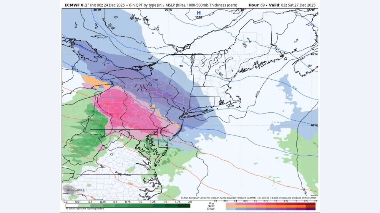
What the Forecast Data Shows Right Now
Weather models and impact graphics indicate a complex winter system moving into Michigan after midnight, bringing multiple precipitation types as it spreads statewide. Snow and sleet are expected across northern Michigan, rain in the far southwest, and a corridor of freezing rain slicing through the middle of the state.
Forecast guidance highlights ice accretion rates between 0.025 and 0.05 inches per hour, which can quickly coat roads, sidewalks, bridges, and power lines. Some locations — especially near Lansing, Jackson, Brighton, and along I-96 — could see total ice amounts approaching or exceeding 0.10 inches, enough to create severe driving hazards.
While snowfall amounts may be limited outside the north, ice impacts are expected to be far more disruptive, especially during the morning and evening travel windows.
Timing and Areas Most at Risk
The first impacts are expected as early as 8 a.m. Friday in western Michigan, with statewide impacts developing by midday. Forecasts suggest that once precipitation begins, surface temperatures may remain below freezing even after precipitation ends, allowing ice to linger well into Friday night and Saturday morning.
Areas of highest concern include:
- Central and Southeast Michigan
- I-96 corridor
- Lansing, Jackson, Brighton, Flint, Detroit metro
- Portions of West Michigan, including Kalamazoo and surrounding areas
Northern Michigan will likely experience more snow and sleet, while southern regions may fluctuate between freezing rain and plain rain, depending on small temperature changes.
Why This Ice Event Is Especially Dangerous
Unlike snowstorms that can be plowed and treated quickly, freezing rain bonds directly to pavement, turning roads into slick ice rinks in a matter of minutes. Forecast discussions warn that melting will be minimal Friday afternoon, meaning icy roads may persist until crews can fully treat surfaces.
Elevated instability within freezing rain bands could also produce isolated thunder or hail, intensifying ice accumulation rates for short periods. Even modest shifts in storm track could significantly change where the heaviest icing sets up.
Travel and Safety Concerns
Officials are urging residents to avoid unnecessary travel, especially during peak commute hours. Bridges, overpasses, and secondary roads will become icy first, and black ice will be difficult to see.
Residents should:
- Delay travel if possible
- Prepare for power outages
- Charge devices ahead of time
- Monitor local advisories and road conditions
- Use extreme caution if driving is unavoidable
What to Expect Next
Forecasters stress that details may still shift, particularly regarding the exact placement of the heaviest icing bands. Even a small adjustment north or south could change impacts significantly for some communities.
Updates will continue as new model data arrives and confidence increases heading into Friday morning.
For continued weather alerts, storm updates, and impact-focused coverage, visit ChicagoMusicGuide.com — your source for regional weather developments and safety information.