Northeast Winter Storm to Bring Heavy Snow, Sleet, and Freezing Rain to New York, Pennsylvania, and New Jersey After Christmas
NEW YORK, PENNSYLVANIA, AND NEW JERSEY — A complex winter storm system is forecast to move into the Northeast just after Christmas, setting the stage for heavy snow, sleet, and freezing rain across multiple states from Friday into Saturday. Forecast data and model guidance show the highest impacts developing across New York, Pennsylvania, and New Jersey, with dangerous travel conditions likely during one of the busiest holiday periods of the year.
Meteorologists say this storm will not be a simple snow event. Instead, it will feature sharp temperature contrasts that determine whether communities see heavy accumulating snow or a hazardous mix of sleet and freezing rain.
Heaviest Snow Likely Just North of New York City
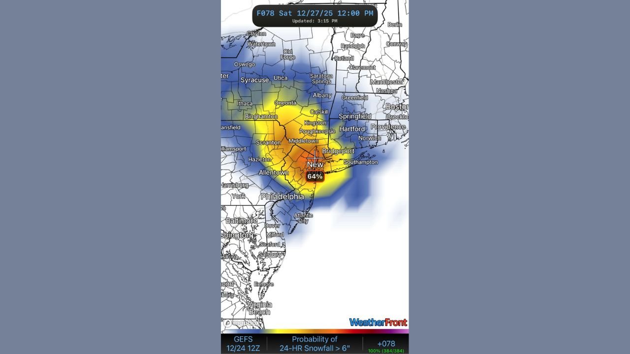
Forecast probabilities indicate the greatest chance for more than six inches of snow will be just north of New York City, extending through parts of southeastern New York and northeastern Pennsylvania. Ensemble data, including the GEFS and ECMWF-EPS, shows elevated confidence in a narrow corridor of heavy snowfall, though the exact placement may still shift.
Snowfall rates within the most intense bands could become heavy at times, potentially exceeding one inch per hour, especially overnight Friday into early Saturday. Areas such as the Catskills, Hudson Valley, and interior southern New England may see the most impactful snow totals if colder air holds firm.
Freezing Rain and Sleet Threat Across Central Pennsylvania and Southern New Jersey
Farther south and west, the storm’s warm layer aloft introduces a serious freezing rain and sleet threat, particularly across central Pennsylvania, southern New Jersey, Delaware, and parts of Maryland. Ice accumulations approaching or exceeding three-tenths of an inch are possible in parts of Pennsylvania, which could be significant enough to cause downed trees, power outages, and extremely slick roadways.
In these areas, snowfall totals may be lower, but impacts could be just as dangerous, especially where freezing rain persists for several hours before temperatures rise.
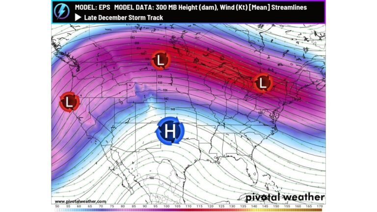
Model Differences Add Uncertainty, But Impacts Remain Likely
Forecast confidence remains moderate, with notable differences between weather models on how moisture and dry air interact over the region. Some higher-resolution guidance shows reduced snowfall in certain locations, while European model output suggests a more robust snow band.
Despite these differences, forecasters agree on one key point: the Northeast is likely to experience a disruptive winter storm, with either heavy snow or icy precipitation affecting travel and daily activities.
Timing and Travel Concerns
The storm is expected to develop Friday and intensify into Friday night, continuing into Saturday morning before gradually moving east. Because surface temperatures may remain near or below freezing even after precipitation tapers off, road conditions could remain hazardous well into Saturday, particularly in snow and ice-prone areas.
Holiday travelers are urged to closely monitor updated forecasts, allow extra travel time, and be prepared for rapidly changing conditions, especially in areas near the rain–snow transition zone.
What to Watch Going Forward
Forecasters will continue refining the expected snowfall and ice totals over the next 24–48 hours as newer data becomes available. Even small shifts in storm track or temperature profiles could mean major changes in local impacts.
For now, residents across New York, Pennsylvania, and New Jersey should prepare for an impactful post-Christmas winter storm that could bring dangerous travel, power disruptions, and rapidly changing weather conditions.
Stay tuned to ChicagoMusicGuide.com for continued updates as this developing winter storm takes shape and new forecast details emerge.