
Cook County Weather Alert: Storm Chances Continue Daily Through Wednesday
CHICAGO, Ill. — Residents in Cook County and across northern Illinois should prepare for intermittent showers and thunderstorms through the middle of next week, according to the National Weather Service Chicago.
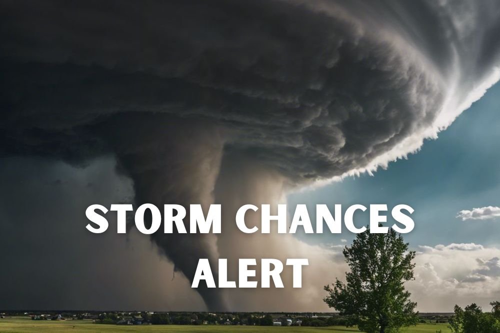
Storm Pattern Through Midweek
Storm chances range from 25% to 60% each day through Wednesday, Sept. 24, with the highest risks forecast for Saturday and Monday. Forecasters say storms will be scattered, meaning long dry stretches are possible, but downpours and lightning could disrupt outdoor activities and commutes.
- Saturday evening storms: most likely north of Interstate 80
- Sunday night storms: favored south of I-80
- Wednesday rain chances: concentrated south of the interstate
While severe weather is not expected, officials warn of localized flooding in low-lying areas during periods of heavier rainfall.
Temperature Trend
Highs Saturday are expected between 77 and 83 degrees, cooling slightly into the mid-to-upper 70s by Sunday. By Wednesday, daytime temperatures should range from 68 to 75 degrees, with overnight lows dipping from the mid-60s into the upper 50s.
This shift marks the beginning of a gradual seasonal cooldown, with cooler, drier air expected to push into Illinois late next week.
Travel and Safety Precautions
Travelers are advised to be cautious on I-90, I-94, and I-80, where wet pavement could create slick driving conditions. The NWS recommends monitoring updated forecasts, especially for those in flood-prone areas.
With daily storm chances persisting into midweek, Cook County residents should remain weather-aware and plan travel accordingly. For more Illinois weather alerts and local forecast updates, follow ChicagoMusicGuide.com.