
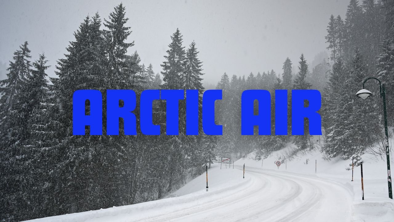
Dangerous Sub-Zero Wind Chills and Light Snow Sweep Across the I-70 Corridor as Arctic Air Moves In
CHICAGO, ILLINOIS — A sharp blast of Arctic air is descending across the I-70 corridor tonight, bringing light snow, plunging temperatures, and wind chills dropping well below zero by Thursday morning. The National Weather Service is urging residents, travelers, and early commuters to brace for one of the coldest stretches of the season.
Temperatures Plunge to Single Digits as Wind Chills Fall Below Zero
By early Thursday, air temperatures are expected to fall into the single digits, with wind chills dipping below zero north of I-70 and reaching near zero to -5°F south of the corridor. Afternoon highs will recover only modestly, ranging from 15 to 26 degrees, making Thursday one of the coldest days yet this season.
Forecasters note that while snowfall amounts remain light, any accumulation combined with strong winds could create slick and patchy road conditions, especially during the morning commute.
Friday Morning To Bring Even Colder, More Dangerous Conditions
The National Weather Service warns that Friday morning will be even colder, with air temperatures dropping into the single digits and a few degrees below zero across several areas. Wind chills may reach as low as -15°F, creating hazardous conditions for anyone outdoors for extended periods.
Residents are encouraged to:
- Dress in multiple warm layers
- Limit time outside, especially for children and the elderly
- Check on vulnerable neighbors
- Bring pets indoors
- Use caution on potentially icy roads
For drivers with early commutes, forecasters stress slowing down, allowing extra travel time, and preparing vehicles for extreme cold.
Weekend Brings Slight Improvement, but More Light Snow Possible
Weather conditions are expected to ease slightly over the weekend, though temperatures will remain on the chilly side. Highs are projected to stay in the upper 20s to mid-30s, keeping the region in a below-normal temperature pattern.
Another weak disturbance is expected Saturday night into Sunday, bringing additional chances for light snow, particularly north of the I-70 corridor. While significant accumulation is not expected, forecasters say even minor snowfall could create slippery surfaces and reduced visibility.
Residents Urged To Stay Prepared as Cold Stays Locked In
Meteorologists advise residents to prepare for an extended stretch of cold, with additional advisories or wind chill alerts possible as the pattern evolves. Staying updated with the latest National Weather Service information will be important for anyone traveling or planning outdoor activities.
Stay connected with ChicagoMusicGuide.com for continuing weather developments, safety updates, and local coverage.