
Heavy Snow Band and Possible Thundersnow Expected Overnight Across Michigan, With Peak Intensity From 3 AM to 7 AM
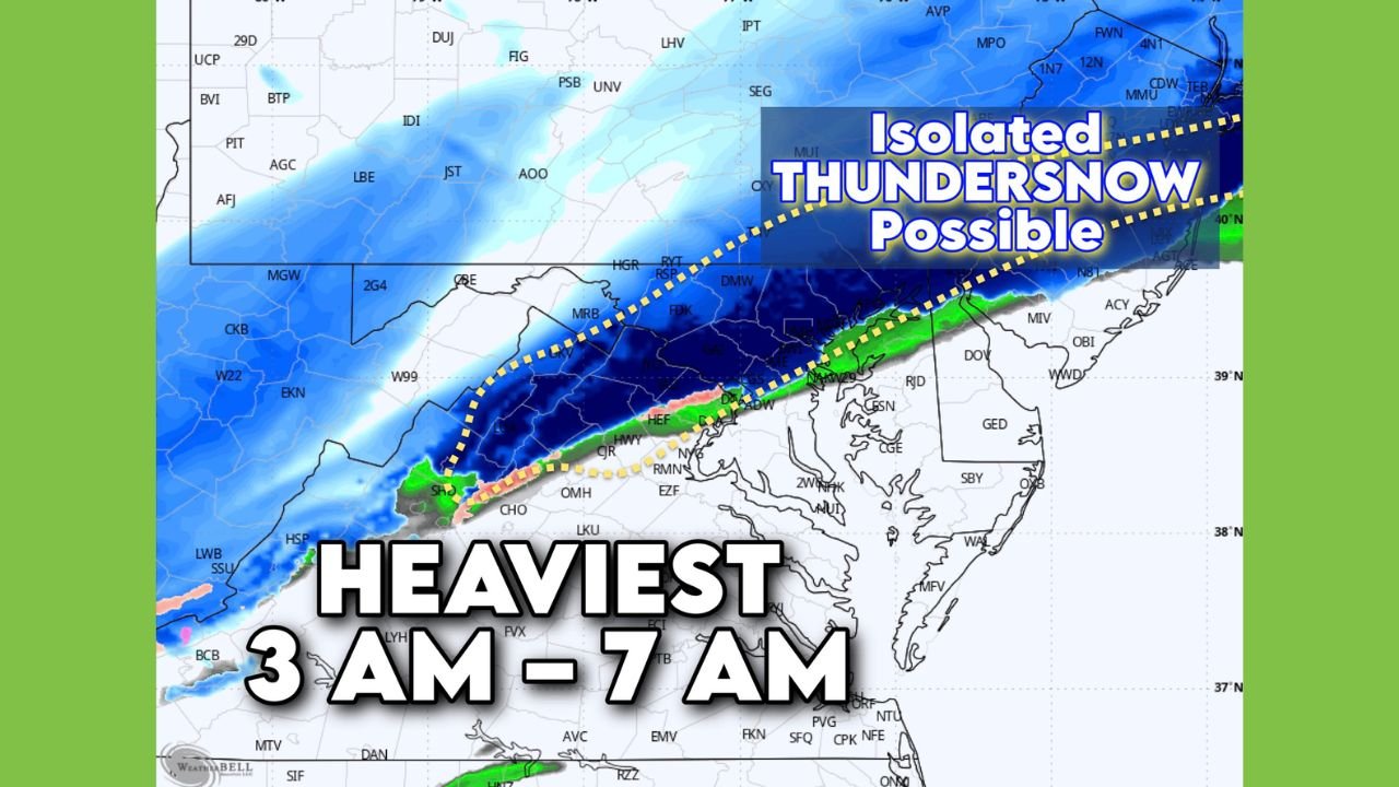
MICHIGAN — A rapidly intensifying winter storm is expected to sweep across Michigan overnight, with forecasters warning of a strengthening snow band, sharply falling temperatures, and even the rare possibility of isolated thundersnow. The heaviest snowfall is projected between 3 a.m. and 7 a.m., especially across southern and central Michigan, where several inches may accumulate before sunrise.
Heaviest Snowfall Targeting Central and Southern Michigan Before Sunrise
Updated model guidance shows a concentrated snow band stretching across:
- Lansing
- Jackson
- Ann Arbor
- Flint
- Kalamazoo and Battle Creek
- Grand Rapids’ southern suburbs
This band is expected to intensify quickly during the early morning hours, producing:
- Rapid accumulation
- Low visibility
- Snow rates high enough to cover roads within minutes
Forecasters say the band may overperform, with 2–4 additional inches possible in the most intense corridor before 7 a.m.
Road crews may struggle to keep up during the peak rates, raising concerns for Sunday morning travel, especially along I-94, US-23, and stretches of I-96.
Isolated Thundersnow Possible in Strongest Bands
Meteorologists caution that atmospheric conditions are favorable for isolated thundersnow, primarily across central Michigan, including areas near:
- Lansing
- Flint
- Owosso
- Midland
- Saginaw Valley
Thundersnow occurs when strong upward motion creates convective bursts within heavy snow, producing lightning and thunder.
If it develops, residents may experience:
- Brief whiteout conditions
- Snow rates exceeding 2 inches per hour
- Sudden road icing
These dynamic bursts often mark the strongest part of a winter storm, signaling rapid shifts in visibility and travel hazards.
Fast Temperature Drop and Slick Roads Likely Overnight
The storm will move into a colder air mass already pushing across Michigan. This means:
- Evening rain or mix will quickly flip to snow
- Roads may ice rapidly as temperatures drop
- Strong winds will create areas of blowing snow, especially across open fields
- Some areas may see wind chills dropping into the single digits by sunrise
By mid-morning Sunday, the main snow band will shift east toward Detroit and Port Huron, while western Michigan may see lingering lake-enhanced snow showers.
What Michigan Residents Should Prepare For
With the storm intensifying overnight, residents should expect:
- Hazardous road conditions early Sunday
- Potential school or event impacts in the morning
- Sudden bursts of heavy snow reducing visibility
- The rare chance of thundersnow, especially across central Michigan
Drivers heading out before or during the morning peak should plan for extra travel time, slower speeds, and rapidly changing conditions.
Stay Weather Ready and Stay Connected
Michigan is no stranger to winter storms, but the combination of heavy snow, falling temperatures, and possible thundersnow makes this event especially important to monitor.
For more winter weather updates, community alerts, and live coverage, visit ChicagoMusicGuide.com.