
Iowa-Illinois Weather Alert: Gusty Winds and Hail Risk Tonight
DAVENPORT, Iowa — Residents across eastern Iowa and western Illinois are being urged to prepare for scattered thunderstorms tonight, with the potential for gusty winds, heavy rain, and small hail, according to the National Weather Service Quad Cities.
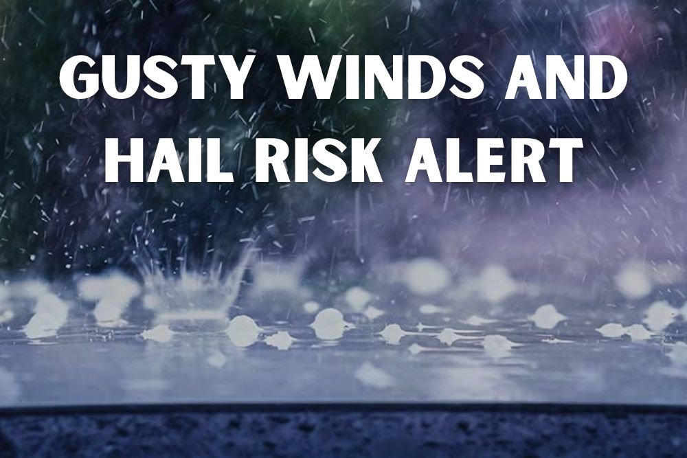
Storms Building Overnight
Forecasters say Monday will remain warm and dry during the day, with highs in the upper 70s to near 80 degrees marking the official start of fall. However, storm chances will rise overnight, with eastern Iowa facing a 20% to 50% likelihood of thunderstorms.
The most intense storms are expected to develop late Monday night into early Tuesday morning, with hazards including:
- Brief heavy downpours
- Gusty winds capable of downing small branches
- Small hail in stronger cells
Midweek Weather Outlook
The unsettled weather pattern will continue into Tuesday and Wednesday, with showers and storms still possible. Probabilities range from 20% to 45% into Wednesday evening.
Conditions should improve by Thursday, when forecasters expect drier weather and daytime highs in the low to mid-70s.
Seasonal Transition Across the Mississippi Valley
The system reflects a seasonal shift as fall begins, bringing unsettled conditions across the Mississippi River Valley. Communities in the Quad Cities, Cedar Rapids, and Iowa City should prepare for rapidly changing weather during the evening and overnight hours.
The National Weather Service advises travelers and commuters to stay cautious, particularly in low-lying areas where localized flooding could occur during heavier downpours.
With gusty winds, hail, and heavy rain possible, residents across Iowa and Illinois should remain weather-aware and monitor updated forecasts. For more Midwest weather alerts and safety updates, follow ChicagoMusicGuide.com.