
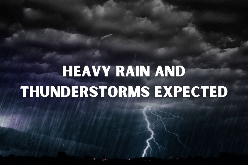
Kansas City Weather Alert: Heavy Rain and Thunderstorms Expected Sunday Night
KANSAS CITY, Mo. — Drivers and residents across the Kansas City metro should prepare for a wet and stormy end to the weekend, with the National Weather Service forecasting heavy rain and thunderstorms beginning Sunday evening.
Storms to Arrive Sunday Evening
Forecasters expect showers to increase Sunday afternoon, with thunderstorms becoming more likely after dark. Rainfall totals could exceed a quarter inch in some areas, with heavier downpours possible during storms. South winds are also expected to contribute to unstable conditions.
The heaviest impacts are expected along I-70 and I-435, where rain-slicked roads may cause slower traffic and increased crash risks during peak travel hours.
Wet Pattern to Continue Into Next Week
The unsettled weather won’t end Sunday night. Showers and storm chances will linger into Monday and Tuesday, potentially disrupting commutes and outdoor plans across Jackson, Clay, and Platte counties.
Afternoon highs are forecast to remain in the upper 70s to low 80s, with elevated humidity adding to discomfort. By midweek, rain chances decrease slightly, but occasional showers could still affect morning travel through Wednesday.
Five-Day Forecast for Kansas City
- Saturday: High near 77. Isolated showers possible after 1 p.m.
- Sunday: Showers likely, with thunderstorms after 1 p.m. High near 79.
- Monday: Chance of showers and storms, mostly cloudy. High near 82.
- Tuesday: Showers and storms possible, mainly in the afternoon. High near 77.
- Wednesday: Slight chance of showers, partly sunny. High near 72.
With heavy rain and thunderstorms moving in, Kansas City residents are advised to monitor weather alerts, charge devices, and avoid unnecessary travel during downpours. For more Midwest weather updates and storm coverage, follow ChicagoMusicGuide.com.