
Michigan, Ohio, Pennsylvania, New York Face Growing Risk of Mid-January Winter Storm as Arctic Air Deepens Across Eastern U.S.
UNITED STATES — A developing mid-January weather pattern is drawing increased attention from forecasters as colder Arctic air is expected to push deeper into the eastern half of the country, raising the risk of a significant winter storm between January 15 and January 20. Multiple forecast models now suggest a colder East–warmer West split, a setup that often supports snow and ice potential across the Midwest, Great Lakes, and Northeast.
A Sharpening Cold Pattern Over the Eastern U.S.
Recent ensemble guidance shows a pronounced dip in the jet stream across the central and eastern United States. This configuration allows colder Arctic air to spill southward, setting up below-normal temperatures from the Midwest through the Northeast. Forecast anomalies indicate the coldest air concentrating over states such as Michigan, Ohio, Pennsylvania, and New York, with temperatures potentially bottoming out during the second half of the month.
Meteorologists note that while exact temperature values are still uncertain this far out, confidence is increasing that the eastern U.S. will turn sharply colder compared to early January conditions.
Why January 15–20 Is the Key Window
Model trends highlight January 15–16 and again near January 19 as periods when storm systems could interact with the colder air mass. One early disturbance may track too far north or move through too quickly to produce widespread impacts, but its passage could help set the stage for a second, more organized system later in the window.
If timing and track align, this second system could tap Gulf moisture while riding along the temperature boundary, increasing the risk for accumulating snow across interior sections of the Midwest and Northeast.
Snow Probabilities Increasing, But Details Still Unclear
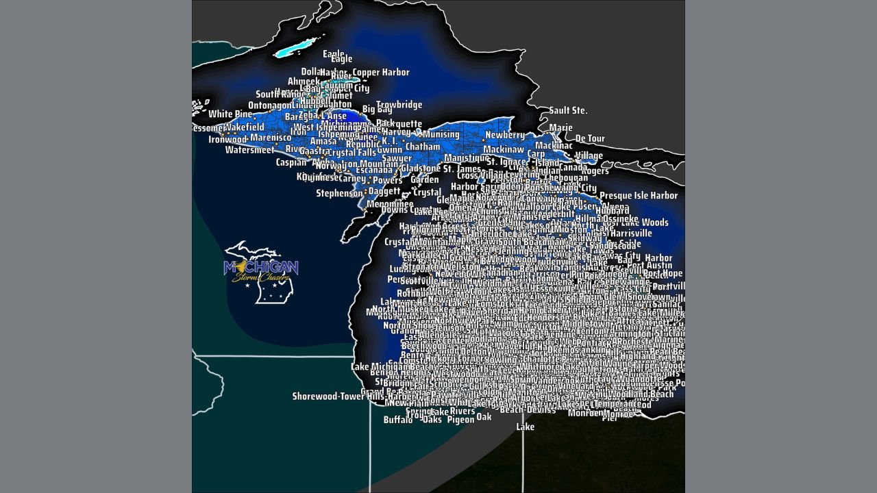
Probability maps for measurable snowfall show a growing signal from the central Plains through the Ohio Valley and into the Northeast corridor. Areas north of the rain-snow line—including northern Ohio, lower Michigan, upstate New York, and interior Pennsylvania—currently show the highest odds for snow if a storm materializes.
That said, forecasters caution that small shifts in storm track could significantly change who sees snow, rain, or mixed precipitation. At this stage, confidence is higher in colder temperatures than in exact snowfall totals or locations.
What This Means for Travelers and Events
For those planning travel, concerts, or large indoor and outdoor events during the second half of January, this developing pattern is worth monitoring closely. Winter storms during this type of setup can bring travel disruptions, delayed flights, and hazardous road conditions, particularly across the Great Lakes and Northeast metro corridors.
While it is too early for watches or warnings, residents are encouraged to stay weather-aware as forecast clarity improves over the coming days.
Looking Ahead
Forecast confidence will improve significantly within the next 5–7 days as higher-resolution models begin to lock in storm timing and track. Until then, meteorologists emphasize patience and preparedness rather than certainty.
We’ll continue to track how this evolving mid-January pattern could impact major population centers and travel hubs across the eastern United States. For ongoing updates and weather-related coverage tied to live events and touring schedules, keep following ChicagoMusicGuide.com.