
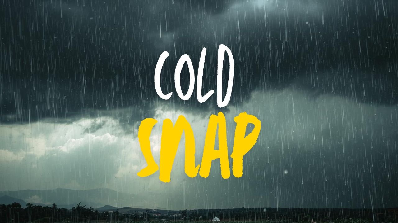
Northern Indiana and Northwest Ohio to Face Subzero Temperatures Thursday Night as Wind Chills Drop to –10°F, NWS Warns
FORT WAYNE, IN — A sharp Arctic cold front will slam into northern Indiana and northwest Ohio late Thursday, sending temperatures plunging below zero and producing wind chills as low as –10°F by early Friday morning, according to the National Weather Service (NWS) in Northern Indiana.
Bitter Subzero Temperatures Expected Across the Region
Forecasters say the coldest air of the week will arrive overnight, with actual temperatures dipping below 0°F across northeast Indiana and northwest Ohio. Communities along and east of the I-69 corridor — including Fort Wayne, Auburn, Bowling Green, and Findlay — face a 30% to 50% probability of true subzero lows.
Areas near Fort Wayne and northeast into Ohio are expected to see the most intense cold due to clearing skies and stronger overnight cooling. Even locations that do not fall below zero will still experience extremely harsh wind chills before sunrise.
Wind Chills Could Reach –10°F Early Friday
NWS meteorologists warn that the combination of cold air and steady overnight winds could push early-morning wind chills down to –10°F, creating conditions capable of causing frostbite on exposed skin in as little as 30 minutes.
Temperatures will struggle to rise through the teens during the day Friday, making it one of the coldest afternoons of the week for both states.
Safety Precautions Urged for Residents, Travelers, and Pets
Officials urge residents to prepare for dangerous cold, especially those heading to work, school, or overnight shifts early Friday. Experts recommend:
- Wearing multiple layers and insulated gloves or mittens
- Covering ears, face, and hands to prevent frostbite
- Bringing pets indoors and limiting their time outside
- Letting faucets drip to prevent frozen pipes
- Keeping cabinets open to allow warm air to reach plumbing
Motorists are encouraged to warm vehicles safely and keep emergency winter kits inside their cars.
Weekend Outlook: Slight Rebound With More Snow Possible
After Friday morning’s bitter low temperatures, conditions will begin to improve modestly. Weekend highs are expected to climb back into the upper 20s and low 30s across northern Indiana and northwest Ohio.
Forecasters say another weak system may bring light snow late Sunday, though significant accumulation is not expected at this time.
Residents across both states are encouraged to stay updated on forecast changes as the region moves through this sharp burst of Arctic air.
For more Midwest weather updates and regional alerts, stay with ChicagoMusicGuide.com.