
Texas, Oklahoma, Arkansas, Mississippi, Tennessee, Ohio, Pennsylvania, New York and New England Face Major Winter Storm With Snow, Crippling Ice and Subzero Cold From Jan 21–27
UNITED STATES — A sprawling and high-impact winter storm is coming together for late January, with snow, sleet, freezing rain, and extreme cold stretching from Texas and Oklahoma through the Mid-South, Ohio Valley, Mid-Atlantic, and into New England. Based on the latest ensemble guidance, Weather Prediction Center outlooks, and ECMWF temperature data, this system has the potential to become one of the most disruptive multi-region winter events of the season.
Meteorologists stress that small temperature changes aloft will determine who gets buried in snow versus crippled by ice, but confidence is growing that impacts will be widespread and long-lasting.
Snow Zone: Plains, Midwest, Ohio Valley and Interior Northeast
The northern side of the storm track favors snow, with the most consistent snowfall signal running from:
- Northern Texas Panhandle
- Oklahoma
- Arkansas
- Missouri
- Illinois
- Indiana
- Ohio
- Pennsylvania
- Upstate New York
- Northern New England
This zone includes cities such as Cleveland, Columbus, Buffalo, Syracuse, Albany, Burlington, Portland (ME), and interior Massachusetts.
Model guidance shows a 10 to 12+ inch snowfall swath possible where cold air remains locked in place near the transition line. The heaviest snow is most likely just north of the sleet/freezing rain boundary, where precipitation rates increase as the storm intensifies.
Travel disruptions, airport delays, and dangerous road conditions are expected across this region.
Ice Battle Zone: North Texas to the Carolinas Faces Crippling Impacts
The most dangerous part of this storm appears to be the freezing rain corridor, which stretches roughly from:
- North Texas
- Arkansas
- Northern Louisiana
- Mississippi
- Tennessee
- Kentucky
- North Carolina
- South Carolina
Maps highlight a long “battle zone of precip types”, where snow may begin first, then transition to sleet and freezing rain. Forecast confidence is growing that some areas could see over 1 inch of ice accretion, a level that causes:
- Widespread tree damage
- Prolonged power outages
- Dangerous, nearly impassable roads
Cities near or within this corridor include Dallas–Fort Worth, Texarkana, Shreveport, Jackson (MS), Memphis, Nashville, Huntsville, Asheville, Raleigh, and Columbia (SC).
Forecasters emphasize that exact placement of the worst ice remains uncertain, but wherever freezing rain persists the longest, impacts could be catastrophic.
Southern Zone: Rain and Thunderstorms Along the Gulf Coast
South of the freezing rain zone, mainly rain is expected from:
- Southern Texas
- Louisiana
- Southern Mississippi
- Alabama
- Georgia
- Florida Panhandle
Some areas along the Gulf Coast could even see embedded thunderstorms, adding another layer of travel and flooding concerns while colder air rapidly advances behind the system.
Extreme Cold Follows: Subzero Temperatures Spread Nationwide
Behind the storm, Arctic air will surge south and east, bringing some of the coldest temperatures of the season.
According to ECMWF temperature projections:
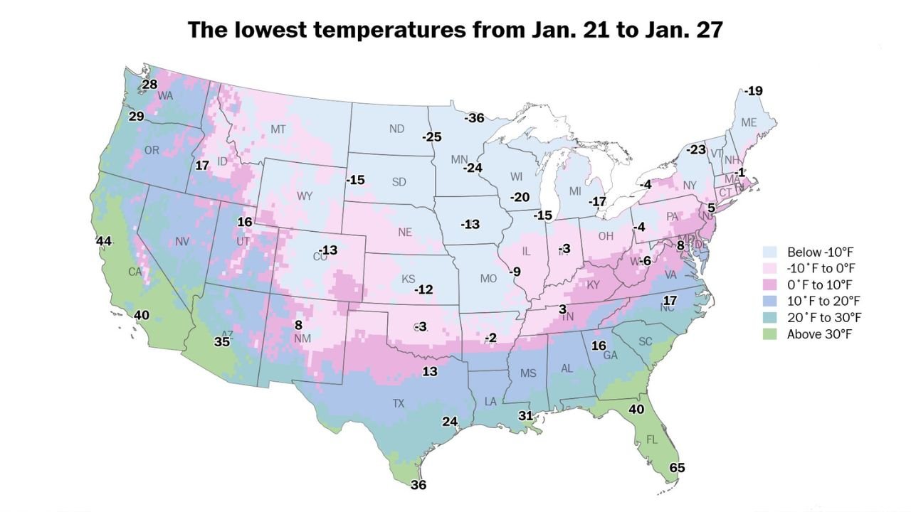
- Over 100 million people will experience subzero temperatures
- Parts of the Northern Plains and Upper Midwest may fall below -30°F
- Midwest, Ohio Valley, and Northeast will see prolonged periods below freezing
- Dangerous wind chills will increase the risk of hypothermia and frostbite
This cold is expected to linger into early next week, worsening power outage risks in areas impacted by ice.
Why Forecast Confidence Is High — But Details Are Not
Meteorologists agree on several key points:
- A major winter storm will occur
- Snow, ice, and extreme cold will affect a massive portion of the U.S.
- Impacts will be multi-day and multi-state
However, uncertainty remains regarding:
- Exact storm track
- Precise snow vs. ice line
- Where the worst ice accretion sets up
Even a 1–2 degree temperature shift aloft could drastically change local outcomes.
What to Do Now
Residents across the impacted states should:
- Prepare for power outages lasting days
- Avoid unnecessary travel during peak storm periods
- Have backup heat and emergency supplies
- Monitor forecasts frequently as details sharpen
This storm is still evolving, but all available data points to a high-impact, widespread winter event that will affect daily life for millions across the United States.
Stay tuned to ChicagoMusicGuide.com for continued winter storm updates, regional breakdowns, and forecast refinements as confidence increases.