
Texas Supercells Expected to Fire Ahead of Squall Line with 75+ MPH Winds and 2-Inch Hail While Midwest Faces Stronger Low-Level Shear
AUSTIN, TEXAS — Forecast guidance shows Texas positioned for more organized storm development than Illinois early in the event, with multiple pre-frontal supercells expected to form before consolidating into a damaging squall line across south-central parts of the state. While low-level wind shear is projected to be stronger across the Midwest, atmospheric conditions across central and eastern Texas remain sufficient to support all significant severe hazards.
Storms are forecast to initiate ahead of the advancing cold front during the afternoon and intensify into the evening hours.
Pre-Frontal Supercells Developing Across Central Texas
High-resolution model reflectivity guidance shows discrete storm cells forming across central Texas, including areas near Austin, San Antonio, and north toward the Dallas–Fort Worth region. These storms are expected to develop ahead of the main squall line and could briefly remain isolated before merging.
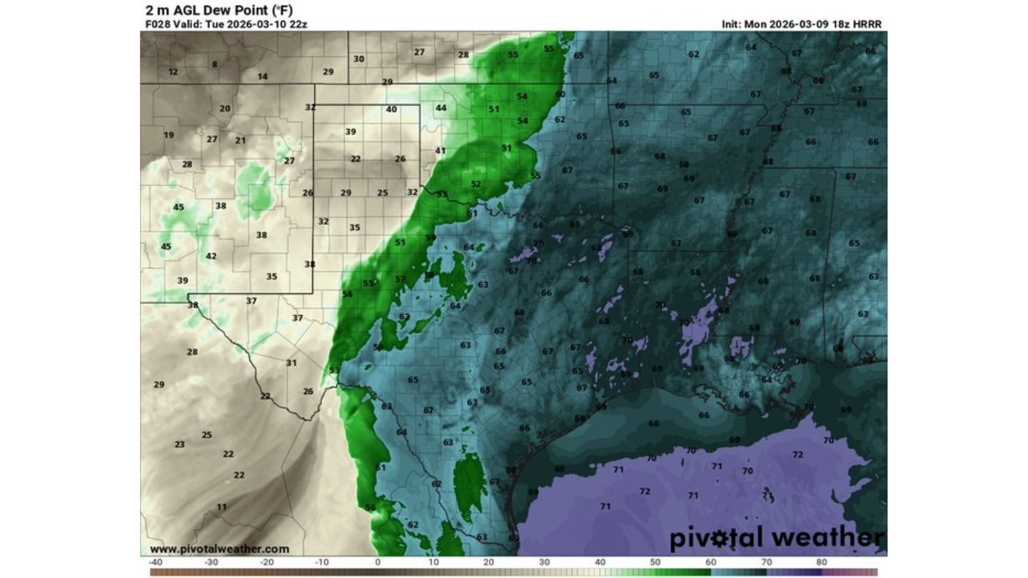
The environment across Texas includes:
- Strong instability
- Sufficient wind shear for rotating storms
- Moist surface air with dew points in the 60s
This combination supports the development of supercells capable of producing significant severe weather before transitioning into a linear system.
Hail Up to 2 Inches and Damaging Winds to 75+ MPH
Forecast parameters suggest hail sizes up to 2 inches or larger will be possible in stronger Texas supercells. These hailstones are capable of causing extensive vehicle and property damage within minutes.
As storms merge into a squall line across south-central Texas, the primary hazard will likely shift toward:
- Damaging wind gusts exceeding 75 mph
- Widespread straight-line wind damage
- Heavy rainfall
The squall line structure increases the likelihood of broader wind impacts compared to isolated supercells.
A Few Tornadoes Possible, Including Isolated Strong Tornado
Although low-level shear in Texas is not projected to be as strong as across parts of the Midwest, it remains adequate to support a few tornadoes, especially with discrete supercells ahead of the line.
Forecasters note that one or two tornadoes could become strong, particularly if storms remain isolated long enough to tap into favorable wind profiles before merging.
However, tornado coverage in Texas is expected to remain scattered rather than widespread.
Midwest Holds Stronger Shear but Texas Storm Coverage More Robust
While the Midwest — including Illinois and surrounding states — may see stronger low-level wind shear overall, storm coverage appears more certain across Texas. This suggests Texas could experience:
- More widespread severe storms
- Earlier storm initiation
- A clearer transition into a damaging squall line
In contrast, Illinois’ severe potential may depend more heavily on boundary placement and storm initiation timing.
Evening Transition Into Squall Line Across South-Central Texas
As the cold front advances, supercells are expected to merge into a damaging squall line across south-central Texas, enhancing the wind threat. Communities across Austin, San Antonio, and surrounding counties should prepare for rapidly changing conditions during the late afternoon and evening.
Wind damage, large hail, and isolated tornadoes remain possible until storms move east or weaken overnight.
Preparation Urged Ahead of Late-Day Severe Threat
Residents across central and eastern Texas should secure outdoor items, park vehicles under cover where possible, and ensure weather alerts are active.
With the combination of 2-inch hail, 75+ mph winds, and isolated tornado potential, Tuesday’s severe weather setup carries meaningful risk across Texas.
For continued updates on Texas severe storms, Midwest weather comparisons, and real-time tracking, visit ChicagoMusicGuide.com for comprehensive coverage as conditions evolve.