
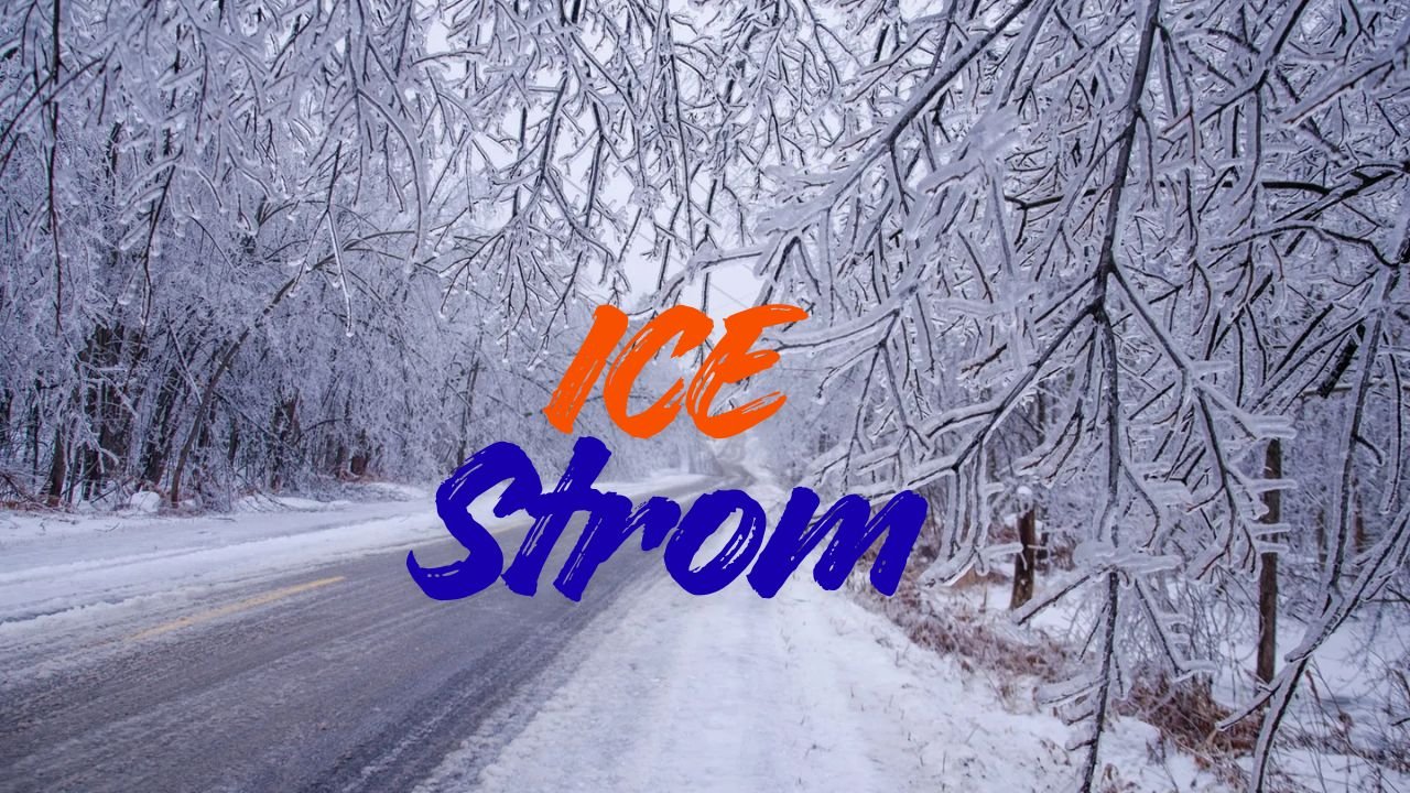
Winter Storm Watch Warns of Dangerous Lake-Effect Snow That Could Shut Down Thanksgiving Travel in N. New York
WATERTOWN, NY — A strong lake-effect winter storm is expected to strike Northern New York just as Thanksgiving travel peaks, with the National Weather Service issuing a Winter Storm Watch for Jefferson and Lewis Counties from late Wednesday night through Friday evening. Heavy snow, powerful wind gusts, and rapidly changing visibility conditions may create significant travel hazards across the region.
Heavy Lake-Effect Snow to Intensify Ahead of the Holiday Rush
Forecasters warn that persistent snow bands forming off Lake Ontario could bring 7 inches or more of accumulation, depending on where the most intense bands settle. With winds gusting as high as 40 mph, whiteouts may occur suddenly, making road conditions treacherous for drivers heading out for Thanksgiving gatherings.
The NWS cautions that visibility could drop to near zero at times, especially during bursts of heavy lake-effect snow.
“Whiteout conditions are possible and may make travel treacherous,” forecasters said in their updated advisory.
Where the Heaviest Snow Is Expected
Areas east and southeast of Lake Ontario are at highest risk for dangerous travel conditions. Snow bands may repeatedly target communities across Jefferson and Lewis Counties, including:
- Watertown
- Lowville
- Adams
- Rodman
- Carthage
- Montague and Tug Hill Plateau elevations
The I-81 corridor between Watertown and Lowville is one of the locations most vulnerable to sudden whiteouts and drifting snow, making long-distance and local travel especially hazardous.
Impact on Thanksgiving Travel and Road Conditions
With millions preparing to travel for Thanksgiving, the timing of this storm poses serious challenges. Those planning Wednesday night or Thursday morning departures could encounter snow-covered roads and rapidly deteriorating visibility.
Officials warn that untreated roads may become slick quickly and even short trips could become dangerous under heavy bands of snow.
“Travel may become hazardous or even life-threatening during periods of intense snow and blowing wind,” NWS meteorologists emphasized.
Travelers are advised to leave early when possible and stay flexible as the storm develops.
Safety Tips for Residents and Travelers
Local agencies urge residents to take standard winter safety precautions as strong winds and lake-effect snow arrive. Key recommendations include:
- Monitor updated weather alerts before traveling
- Keep vehicles fueled and winter-ready
- Carry blankets, snacks, water, and emergency supplies
- Allow extra travel time or delay trips if conditions worsen
- Prepare for potential power outages due to gusty winds
Staying off the roads during peak snowfall will significantly reduce risk, especially along open and elevated roadways.
Storm Impacts May Continue Through Friday Evening
Even after the heaviest snowfall tapers off, blowing snow and spotty lake-effect bands may continue through Friday evening. Higher elevations and exposed areas could see ongoing visibility issues as winds funnel across open terrain.
Because lake-effect systems can shift quickly, residents are urged to stay updated as the storm evolves — conditions can change dramatically within just a few miles.
As Northern New York prepares for a winter-like start to the Thanksgiving holiday, travelers and residents are encouraged to plan ahead, stay alert, and adjust plans to protect themselves from hazardous conditions.
Share how this storm might affect your plans in the comments on ChicagoMusicGuide.com.