Mid-Atlantic Temperature Tug-of-War: Washington D.C., Maryland, and Virginia Could See 30-Degree Spread Friday as Cold Ocean Air Battles Incoming Warmth
WASHINGTON, D.C. — Forecasters say the Mid-Atlantic region could experience one of the most complicated temperature forecasts of the week on Friday, as a stubborn wedge of cool air collides with warmer spring air pushing north from the South.
Meteorologists at the National Weather Service warn that temperature differences across relatively short distances could reach as much as 30 to 35 degrees, stretching from northeastern Maryland to central Virginia.
The uncertainty is tied to the exact placement of a boundary separating cool Atlantic air from warmer inland air, which could dramatically influence how warm or chilly it feels across the Washington D.C. metro region.
Sharp Temperature Divide Possible Across the Region
Forecast maps show a dramatic contrast in potential temperatures depending on which side of the front communities fall on.
Under the cooler scenario, areas across northern Maryland, Delaware, and coastal sections of the Mid-Atlantic could see afternoon temperatures only reach the 40s to low 50s.
Meanwhile, locations farther south and west could climb well into the upper 60s or even the 70s, especially across:
- Central and southern Virginia
- Areas west of Washington D.C.
- Portions of the Shenandoah Valley
This sharp divide is typical of springtime weather battles between maritime air from the Atlantic Ocean and warmer continental air masses moving northward.
Cooler Air Wedge May Dominate Friday
Meteorologists say early indications suggest that the cooler air mass may ultimately hold stronger than originally expected.
Current thinking points toward high temperatures mostly in the mid-50s across much of the Washington D.C. region, though readings could dip into the 40s during parts of the afternoon if clouds and northeast winds persist.
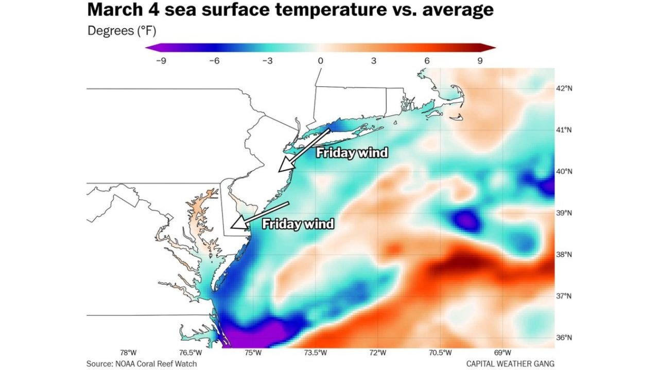
The cooling influence is being reinforced by cold ocean waters offshore, where sea surface temperatures currently remain in the mid to upper 30s in parts of the nearby Atlantic.
When winds blow from the east or northeast, that chilly marine air can spread inland and keep temperatures well below typical spring levels.
Chesapeake Bay Region Slightly Warmer Than the Ocean
Interestingly, sea surface temperature maps show that waters inside the Chesapeake Bay are somewhat warmer, often near or above 40 degrees.
This difference means areas closer to the Bay may experience slightly milder conditions compared with the open Atlantic coastline, though still cooler than areas farther inland.
The interaction between ocean temperatures, wind direction, and terrain often makes Mid-Atlantic spring forecasts particularly tricky.
Warmer Air Could Attempt a Return Saturday
Looking ahead to the weekend, forecasters say another push of warmer air from the south may attempt to move into the region on Saturday.
However, whether that warmer air successfully replaces Friday’s cooler wedge remains uncertain.
If the cool maritime air remains entrenched, temperatures could again trend several degrees cooler than earlier forecasts suggested.
Warmer Pattern Expected Later in the Week
Despite the short-term uncertainty, meteorologists expect warmer spring air to eventually gain control later in the weekend or early next week.
Even then, the shift may be temporary, as another round of cooler air could follow behind the next weather system moving across the eastern United States.
For residents across Washington D.C., Maryland, and northern Virginia, the upcoming days highlight the unpredictable nature of early spring weather in the Mid-Atlantic.
For continued coverage of national weather trends, storm forecasts, and regional weather developments, visit ChicagoMusicGuide.com.