Illinois, Iowa and Wisconsin Placed Under Enhanced Risk April 2 as Storm Prediction Center Warns of Strong Tornadoes, Damaging Winds and Large Hail
ILLINOIS, IOWA, WISCONSIN — The Storm Prediction Center (SPC) has upgraded the severe weather outlook for Thursday, April 2, placing a large portion of the Midwest under an Enhanced Risk, signaling a heightened threat for strong tornadoes, damaging winds, and large hail. This upgrade reflects increasing confidence in a volatile setup capable of producing fast-moving and potentially dangerous storms across the region.
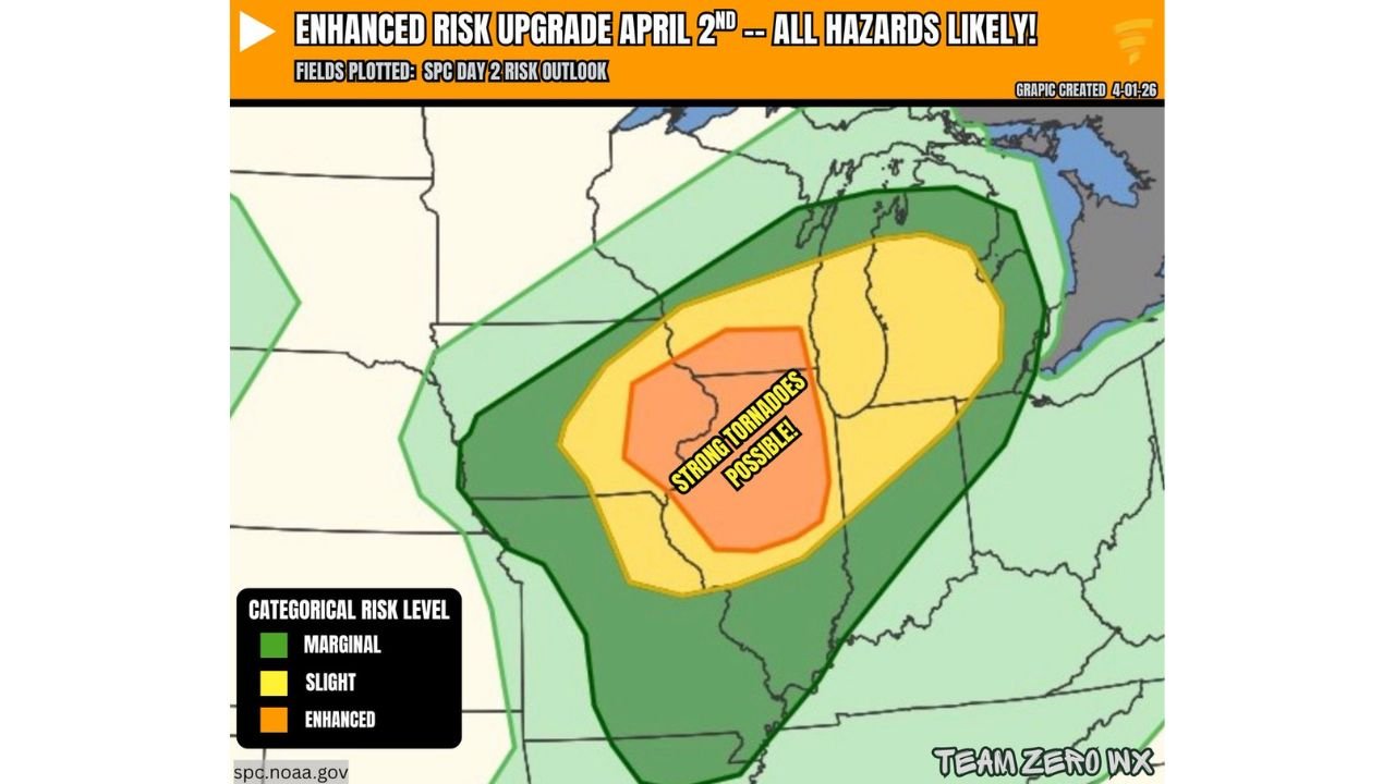
Enhanced Risk Zone Expands Across the Midwest With Tornado Potential
The upgraded outlook highlights a broad corridor stretching from eastern Iowa through northern Illinois into southern Wisconsin, including major population centers near Chicago, Rockford, Madison, and surrounding areas. Within this zone, the risk level has been elevated to Enhanced, indicating a more organized and widespread severe weather threat compared to lower categories.
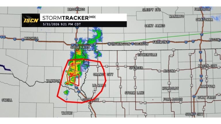
At the center of this outlook, a concentrated area has been identified where strong tornadoes are possible, particularly across parts of Iowa and northwest Illinois. This region is expected to experience the most favorable overlap of atmospheric ingredients needed for tornado development.
Surrounding areas, including portions of Michigan, Indiana, and additional Midwest states, fall under Slight and Marginal risk levels, meaning severe storms remain possible but with somewhat lower intensity compared to the core zone.
All Hazards Expected Including Strong Tornadoes and Damaging Winds
This system is classified as an all-hazards severe weather event, meaning multiple threats will develop simultaneously. The primary concerns include tornadoes, damaging straight-line winds, and large hail, each capable of causing significant impacts.
The mention of strong tornadoes is particularly important, as it suggests the possibility of storms reaching EF2 strength or higher. These types of tornadoes can cause substantial structural damage and pose serious risks to life and property.
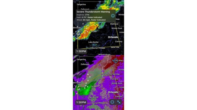
In addition to tornadoes, storms are expected to produce powerful wind gusts, which could lead to downed trees, power outages, and travel disruptions. Large hail may also accompany stronger storms, increasing the risk of property damage, especially to vehicles and rooftops.
Why This Setup Is Raising Concern Across Illinois and Surrounding States
Meteorologically, the upgrade is driven by a combination of increasing instability, strong wind shear, and a favorable storm track across the Midwest. These elements are aligning in a way that supports organized, rotating thunderstorms known as supercells, which are the primary producers of tornadoes.
The positioning of the low-pressure system and associated fronts is expected to enhance storm development across Illinois, Iowa, and Wisconsin, especially during the afternoon and evening hours. This timing increases the likelihood of storms intensifying rapidly as daytime heating peaks.
The presence of a defined risk corridor also means that storm coverage may become more widespread, rather than isolated, increasing the number of communities that could be impacted.
What Residents Should Do as Severe Weather Threat Increases
With the Enhanced Risk now in place, residents across the highlighted areas should take this threat seriously and begin preparations ahead of Thursday. Having multiple ways to receive weather alerts, including mobile notifications and local warnings, will be essential.
Communities in and around Chicago, northern Illinois, eastern Iowa, and southern Wisconsin should remain especially alert, as these areas lie within the highest risk zone for more intense storms. Preparedness actions such as identifying safe shelter locations and reviewing emergency plans can make a critical difference if warnings are issued.
The evolving nature of this system means conditions could change quickly, and updates from official sources should be monitored throughout the day.
As this severe weather event approaches the Midwest, awareness and preparation will be key to minimizing risk. For continued updates on storm developments, regional forecasts, and weather alerts, visit ChicagoMusicGuide.com.