Colorado Springs Faces Thunderstorms, Gusty Winds and Cooler Fall Temperatures
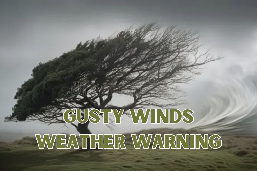
COLORADO SPRINGS, Colo. – Residents of southern Colorado are bracing for rapidly changing skies as thunderstorms roll through Tuesday, bringing gusty winds, heavy rain, and the potential for small hail. The storms are expected to impact travel along Interstate 25 and surrounding mountain passes, creating sudden downpours and reduced visibility for commuters.
Storms Build Over the Mountains Before Pushing East
According to the National Weather Service in Pueblo, storms will first develop over the mountains before tracking east into the Raton Mesa and toward the Kansas border Tuesday evening. Forecasters warn that wind gusts near 50 mph are possible, along with heavy rainfall that could lead to ponding on roads and localized flooding.
High elevations, including Pikes Peak, may even see a dusting of early-season snow, highlighting the sharp transition into autumn weather. Drivers are urged to use caution, particularly during the afternoon and evening commute, when storm activity will peak.
Midweek Sunshine and a Taste of Fall
After Tuesday’s unsettled conditions, showers are expected to linger into late evening before skies clear. By Wednesday, sunshine will dominate across the region. Daytime highs in Colorado Springs are forecast to reach the upper 70s to lower 80s, while overnight lows dip into the 40s.
By Thursday morning, temperatures in the San Luis Valley could fall into the mid-30s, raising the possibility of patchy frost. The midweek stretch promises calmer weather, giving residents a window of relief to enjoy crisp fall conditions.
Five-Day Forecast for Colorado Springs
- Tuesday: Thunderstorms likely, breezy, high near 81
- Wednesday: Sunny, high 66, low 43
- Thursday: Sunny, high 77, low 48
- Friday: Sunny, high 81, low 51
- Saturday: Sunny, high 78, low 50
Residents Urged to Stay Prepared
Local officials recommend securing outdoor furniture, charging devices, and preparing for fast-moving storms. Those traveling through mountain passes or along I-25 should remain alert to changing conditions, particularly during peak storm hours after midday.
While the week ahead trends calmer, forecasters caution that another round of showers and storms is possible by late weekend and into early next week, continuing the active seasonal pattern.
As Colorado heads deeper into fall, this week’s storms serve as a reminder of how quickly conditions can change in the mountains and plains. Stay tuned to ChicagoMusicGuide.com for more regional weather updates, alerts, and community coverage.