Central Illinois Weather Shift: Warm Spell Ends as Back-to-Back Cold Fronts Bring Rain and Freezing Temperatures
SPRINGFIELD, ILLINOIS — After several days of unseasonably warm weather, Central Illinois is preparing for a dramatic temperature drop as two cold fronts sweep through the region this week, bringing rain, gusty winds, and freezing morning lows by the weekend.
According to the National Weather Service in Lincoln, the region’s recent stretch of breezy warmth will end as cooler air from the northwest pushes in late Thursday, followed by a stronger front Friday morning that will mark the start of a prolonged cold pattern.
From Breezy Warmth to Rain and Cold Air
Forecasters say southwest winds up to 25 mph will continue to gust across much of Central Illinois through Thursday, keeping highs in the low to mid-60s. But the shift will begin late Thursday as the first cold front moves in, followed by a second, stronger front Friday morning that will bring scattered showers and sharply falling temperatures.
“Rain will become likely Thursday night into Friday morning, with scattered showers tapering off by midday,” the National Weather Service reported. “Behind the front, cooler and drier air will settle in just in time for the weekend.”
Friday Rain and Temperature Drop
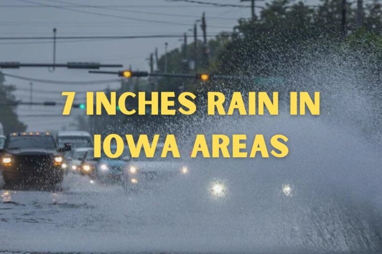
Rain chances increase Thursday evening, spreading across Springfield, Decatur, and Bloomington overnight. Drivers are urged to use caution during the Friday morning commute, as wet roads and reduced visibility could make travel slow.
By Friday afternoon, skies will begin to clear, but temperatures will drop quickly — falling from the 60s into the 40s by evening.
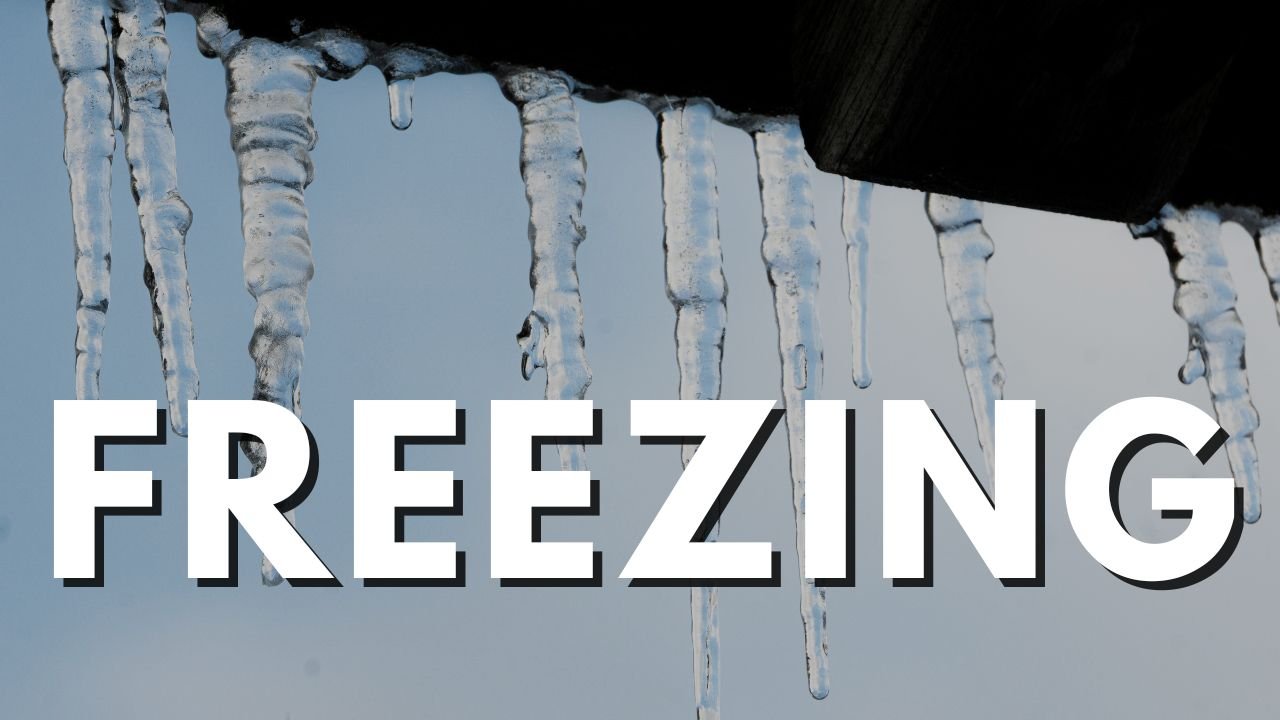
The cooldown intensifies over the weekend, with Saturday highs near the mid-50s and brisk northwest winds. By Sunday morning, temperatures are expected to dip into the upper 20s and low 30s, with wind chills in the 30s across much of the area.
Weekend Outlook: Sunshine Returns, but Cold Air Lingers
While Saturday will bring clearing skies and dry air, the region will feel the full effects of post-frontal cold air by Sunday, when highs will stay in the 40s to low 50s despite plenty of sunshine.
Homeowners are advised to secure outdoor decorations and check heating systems, as gusty winds Thursday and Friday could cause minor property damage and power fluctuations.
By Monday, temperatures will remain below seasonal averages, with some northern counties in Central Illinois struggling to reach the upper 30s during the day.
Next Week: Cold Pattern Continues
Meteorologists expect cooler air to persist into early next week, keeping highs in the 40s and overnight lows near freezing. While most of the region will stay dry through Tuesday, forecasters are monitoring the potential for a midweek system that could bring light rain or early frost.
The quick turnaround from warmth to winter chill underscores that November weather is settling in for good across the Midwest.
As Illinois transitions from fall’s warmth to early-winter cold, residents are encouraged to bundle up, drive carefully during morning frost, and keep an eye on future storm developments. For continued weather updates and safety forecasts across Illinois, visit ChicagoMusicGuide.com.