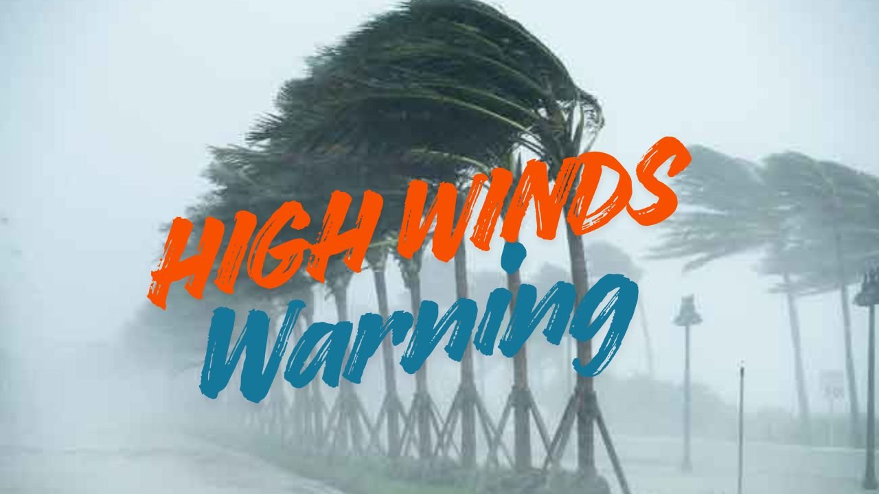
Wyoming Braces for 60+ MPH Winds as Thanksgiving Week Travel Faces Major Hazards
CHEYENNE, WY — The National Weather Service in Cheyenne is warning residents and holiday travelers to prepare for a turbulent start to Thanksgiving week, as powerful winds topping 60 mph are expected to blast across Wyoming’s most heavily traveled corridors, including I-80 and I-25, beginning Monday afternoon.
High Wind Warning for Monday Into Early Tuesday
A High Wind Warning is in effect for several notorious wind-prone zones — Arlington, Bordeaux, and Elk Mountain — where gusts may exceed 60 mph. These conditions could create dangerous travel for light, high-profile, and towing vehicles traveling through exposed mountain gaps and open plains.
Forecasters say the strongest winds will peak Monday afternoon through early Tuesday morning, lining up with the first major holiday travel wave.
“Travelers should be prepared for sudden wind gusts capable of causing blow-overs or loss of control,” the NWS warned.
Timeline: Two Rounds of Hazardous Winds This Week
The first and strongest round of wind arrives Monday afternoon through early Tuesday, potentially prompting travel restrictions for high-profile vehicles.
Winds may briefly weaken Tuesday night — but the break won’t last long.
A second round of gusty winds is expected Wednesday into Thursday, which could affect travelers heading out immediately before the Thanksgiving holiday. While not as intense as Monday’s event, the midweek winds could still produce delays and hazardous crosswind conditions.
Why This Week’s Winds Are Dangerous
Even seasoned Wyoming drivers know how quickly wind can turn travel treacherous — especially during the holiday rush.
A forecaster with NWS Cheyenne explained:
“Even experienced Wyoming drivers can face challenges during high-wind events. Gusts over 60 mph have the potential to cause blow-overs, especially for trucks and trailers.”
Long, open stretches of highway like I-80 through Arlington and Elk Mountain are especially vulnerable due to sudden, extreme crosswinds.
Key Facts Travelers Need to Know
- Gusts over 60 mph expected Monday afternoon into Tuesday
- High Wind Warning for Arlington, Bordeaux, Elk Mountain
- Second wind event Wednesday–Thursday
- Biggest threats to high-profile vehicles
- Sharp temperature drop expected Tuesday
- Possible delays or temporary closures on I-80 and I-25
Cold Air Mass Brings Steeper Chill by Tuesday
In addition to high winds, a colder air mass will sweep across the region starting Tuesday, dropping wind chills well below freezing. Motorists should expect rapidly changing weather, slick wind-blown stretches, and cold conditions that can affect vehicle performance.
Travel Safety Tips for Holiday Drivers
Wind-related crashes and blow-overs are among the most common hazards on Wyoming interstates. Officials recommend:
- Avoid travel during peak wind periods
- Drive slower and keep both hands firmly on the wheel
- Be extremely cautious in open, exposed areas
- Check WYDOT webcams and road alerts before leaving
- Secure cargo, trailers, and lightweight items
- Never park on the shoulder in high-wind zones
- Delay travel if conditions worsen
Why Wyoming Sees Extreme Winds
Wyoming’s landscape — wide plains, mountain gaps, and deep pressure gradients — creates a natural wind tunnel effect. Areas like Elk Mountain and Arlington funnel high-speed winds directly across I-80, making November one of the windiest months of the year across the state.
High winds during one of the year’s busiest travel weeks can quickly turn dangerous. With gusts expected to top 60 mph and a second wind event midweek, travelers should stay alert, adjust plans when needed, and prioritize safety throughout the Thanksgiving period.
Share your weather updates or travel experiences in the comments on ChicagoMusicGuide.com.