
Boise Weather Alert: Mountain Thunderstorms Sunday, Cooler Temps by Tuesday
BOISE, Idaho — Residents across Idaho should prepare for scattered thunderstorms in mountain regions on Sunday afternoon, followed by a notable 10–15° cooldown that will bring highs in Boise and the Treasure Valley into the low to mid-70s by Tuesday, according to the National Weather Service in Boise.
Mountain Storms on Sunday
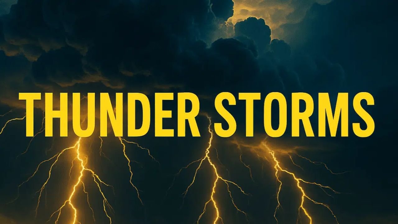
Thunderstorms are most likely in Baker County, southern Twin Falls County, and higher elevation areas such as McCall, Stanley, and Sun Valley.
“Mountain communities such as McCall, Stanley, and Sun Valley will dip into the 50s and 60s with daily storm chances continuing through Thursday,” forecasters said.
Travelers on Highways 21 and 55 should prepare for wet pavement and reduced visibility, especially in the afternoon and evening.
Breezy Monday Before a Cooldown
Monday will remain mostly dry and breezy, with highs near the upper 80s in Boise. A sharp shift follows on Tuesday, when highs fall to the low to mid-70s, well below the early September average.
“Rain chances climb Tuesday and Wednesday, especially in the central mountains where locations like Banner Summit and Brundage Mountain could see frequent afternoon showers,” the weather service explained in its latest forecast.
Midweek Storm Chances
Thunderstorm potential increases again by midweek, with isolated power outages possible in higher terrain. Residents are advised to secure outdoor items ahead of gusty winds Monday and prepare for unsettled conditions through Thursday.
“Cooler weather arrives this weekend, with increasing shower & thunder chances,” the NWS Boise office highlighted in a public alert.(NWS Boise)
By Friday, conditions will remain cooler, with highs in the upper 60s to mid-70s, before temperatures begin to slowly warm next weekend.
The forecast signals a transition from summer-like warmth to more autumn-like conditions across Idaho. For more regional weather updates and community coverage, visit ChicagoMusicGuide.com.