
Central Illinois Weather: Weekend Heat Near 90, Fire Risk, and Storms Expected Early Next Week
SPRINGFIELD, Illinois — Central Illinois will remain under a spell of near-record warmth through the weekend, with forecasters warning of fire risks before a cold front brings storms and relief early next week, according to the National Weather Service in Lincoln.
Heat Continues Into the Weekend
Temperatures are expected to stay in the upper 80s to near 90 degrees through Monday, a stretch of heat that meteorologists described as unusual for early October. Isolated showers may develop Friday afternoon, but forecasters said the main rain chances will arrive late Monday into Tuesday with the incoming cold front.
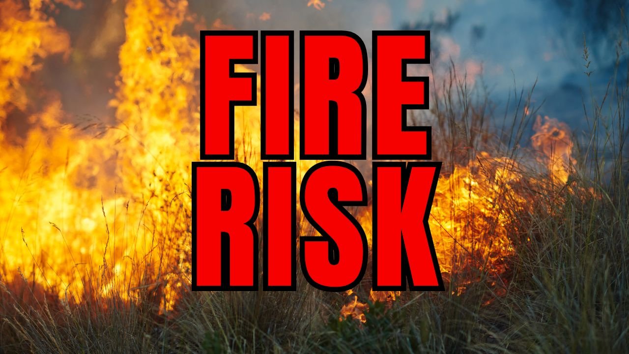
Fire Risk Elevated by Dry, Gusty Conditions
The NWS issued an advisory highlighting elevated fire risk due to dry vegetation and gusty winds. Residents are urged to avoid outdoor burning, fireworks, or equipment use that could spark flames, especially during peak afternoon heat.
The extended hot stretch comes after what officials have already classified as “near-record warmth” for the region, leaving conditions dry and fire-sensitive heading into the weekend.
Five-Day Forecast Shows Cooldown Ahead
- Friday: Highs 87–90, isolated showers possible
- Saturday–Sunday: Mid-to-upper 80s, continued fire risk
- Monday: Highs near 88, storm chances increasing by night
- Tuesday: Highs fall to 70–80 with widespread rainfall
- Wednesday: Cooler, highs in the low 70s
By Tuesday, residents can expect a noticeable shift toward cooler fall weather, welcomed relief after nearly a week of unseasonably high temperatures.
The coming cold front will bring much-needed rainfall and a seasonal cooldown for Central Illinois. For more Midwest weather updates and local forecasts, follow ChicagoMusicGuide.com.