
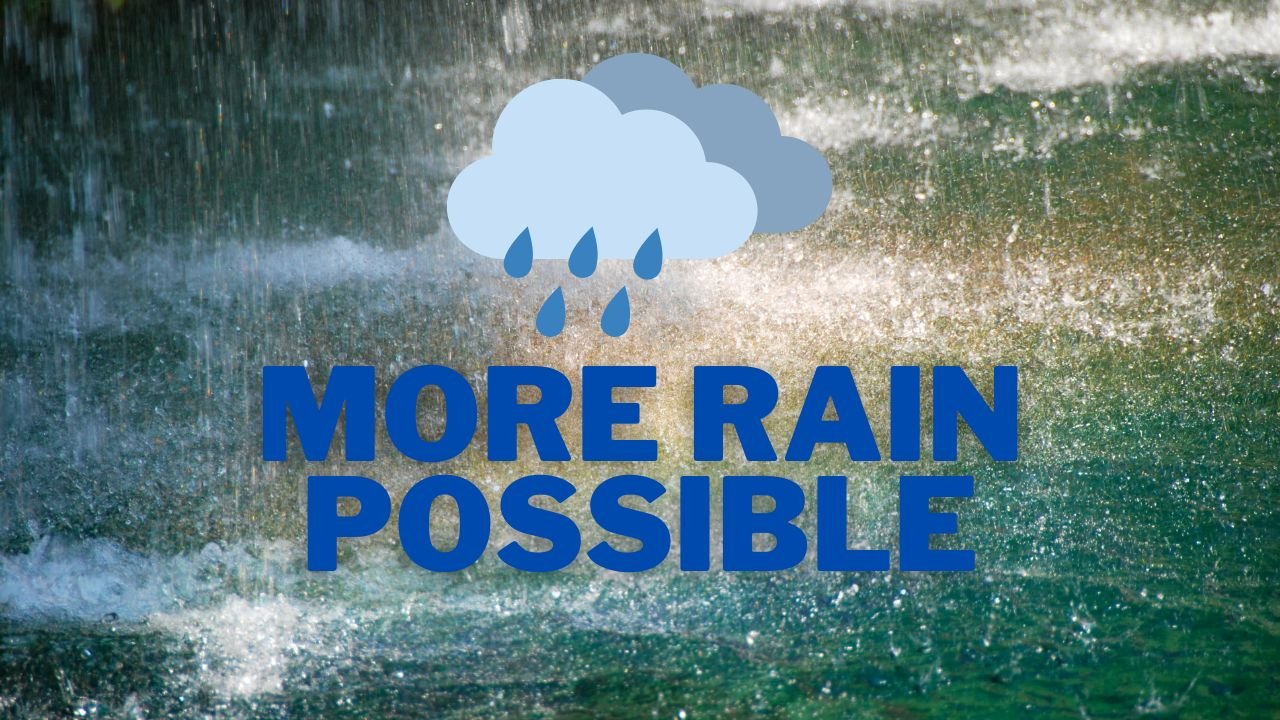
Charlotte Weather Alert: Storms and Rain Likely Through Weekend
CHARLOTTE, NC — Drivers and residents across the Charlotte metro should prepare for slick roadways and reduced visibility this weekend as widespread rain and thunderstorms move into Mecklenburg County.
Saturday Storms Likely
The National Weather Service (NWS) warns that showers and possible thunderstorms will begin Saturday morning, with a 70% chance of rain continuing through the day and into the evening.
Although rainfall totals will be modest overall, heavy bursts of rain could quickly pool on roads, especially along I-85, I-77, and other low-lying stretches.
Friday Briefly Dry, Rain Returns
Friday will provide a short break, with partly sunny skies and a high near 81°F before conditions deteriorate Saturday.
- Saturday: Rain and storms likely, high near 78°F.
- Sunday: Mostly cloudy, lingering showers, high near 78°F.
Second Wave Early Next Week
Another round of unsettled weather is forecast for Monday, with a 60% chance of afternoon thunderstorms likely to impact travel during the evening commute.
Temperatures through the weekend and Monday will hold in the upper 70s, marking a mild start to fall.
Sunshine Returns
Relief is expected by Tuesday and Wednesday, when drier air brings sunshine back to Charlotte. Highs are forecast near 75°F, setting up a calmer stretch to begin October.
Five-Day Forecast for Charlotte
- Friday: High 81°F, partly sunny, showers late.
- Saturday: High 78°F, 70% chance of rain and thunderstorms.
- Sunday: High 78°F, mostly cloudy, 30% chance of showers.
- Monday: High 77°F, showers and storms likely, 60% chance.
- Tuesday: High 75°F, partly sunny, turning drier.
Residents are encouraged to limit non-essential travel during peak storms, keep devices charged in case of outages, and allow extra time when commuting on wet roads.
Stay with ChicagoMusicGuide.com for continuing coverage of North Carolina weather and safety updates.