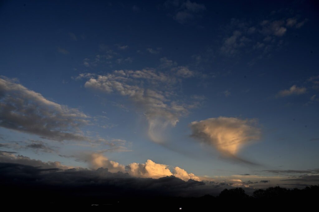
Isolated Shower Chances Friday, But Mostly Dry Labor Day Weekend Ahead

CEDAR RAPIDS, Iowa — A few isolated showers may develop across eastern Iowa on Friday and Saturday, but forecasters say much of the Labor Day weekend will remain dry, pleasant, and seasonable.
Friday Forecast
Morning temperatures began in the upper 50s and low 60s under partly cloudy skies. By the afternoon, highs are expected to climb into the mid to upper 70s.
Between 3 and 7 p.m., isolated showers may pop up due to daytime heating. Most areas will remain dry, though some spots could see a quick passing shower before skies clear again by sunset. Lows tonight will dip into the mid to upper 50s.
Saturday Outlook
Saturday brings nearly identical conditions, with afternoon highs in the upper 70s and partly cloudy skies. Isolated showers or a thunderstorm may develop in the afternoon and early evening before fading after sunset.
Overnight lows once again fall into the mid to upper 50s as skies become mostly clear.
Sunday & Labor Day Monday
Both Sunday and Monday are expected to stay dry and sunny, with partly to mostly clear skies across most of eastern Iowa.
Meteorologists are monitoring a disturbance moving across western Iowa, Nebraska, and South Dakota, which may trigger showers farther west. If that system drifts east, spotty showers could develop in parts of Iowa. For now, forecasters believe the best chance of rain will remain west of Cedar Rapids and surrounding areas.
Looking Ahead
After a quiet Tuesday, a cold front is forecast to move through on Wednesday, bringing showers and thunderstorms. Behind the front, temperatures are expected to cool significantly heading into late next week.
Overall, eastern Iowa can expect a pleasant Labor Day weekend with only brief chances of rain — good news for holiday events, outdoor gatherings, and travel plans.
Stay connected with ChicagoMusicGuide.com for more local weather updates, holiday forecasts, and community coverage.
