
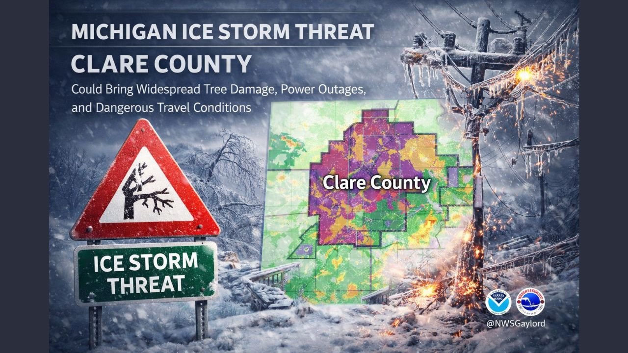
Michigan Ice Storm Threat in Clare County Could Bring Widespread Tree Damage, Power Outages, and Dangerous Travel Conditions
CLARE COUNTY, MICHIGAN — A high-impact winter storm is shaping up to create extremely dangerous conditions across Clare County and surrounding areas as a combination of freezing rain, heavy snow, and powerful winds moves into the region. Forecast data shows significant ice accumulation already weighing down trees, with worsening conditions expected as winds intensify and snowfall adds additional strain.
Freezing Rain Creates Severe Tree and Power Line Risk
Meteorological data indicates that many trees across Clare County are already coated with 0.25 to 0.50 inches of freezing rain, a level of ice accumulation known to cause structural stress and widespread failures. With temperatures expected to remain below freezing, this ice is not expected to melt, allowing conditions to worsen as the storm continues.
The heavy ice coating significantly increases the likelihood of tree limbs snapping or entire trees falling, especially when combined with strong winds. Power lines and utility infrastructure are particularly vulnerable under these conditions, raising concerns for extended power outages across rural and wooded areas.
Powerful Winds and Snow Add to the Threat
Forecast models show wind gusts between 40 and 50+ mph, with some localized gusts potentially exceeding those values. These winds will act on already ice-laden trees, dramatically increasing the risk of tree collapses, blocked roadways, and damage to homes and vehicles.
In addition to the ice, several inches of snow are expected, further compounding the danger. Snow accumulation on ice-coated branches adds extra weight, accelerating failures and making travel conditions increasingly treacherous, particularly during overnight hours and into the following day.
Travel Conditions Expected to Rapidly Deteriorate
As freezing rain transitions to snow and winds strengthen, visibility is expected to drop sharply, especially in open areas and along rural roadways. Falling trees, downed power lines, and drifting snow may make some roads impassable with little warning.
Emergency managers urge residents to avoid unnecessary travel, particularly during peak wind periods. Drivers who must be on the roads are advised to watch for sudden obstructions, slick surfaces, and reduced visibility caused by blowing snow and ice.
Why Clare County Faces an Elevated Risk
Clare County’s dense tree coverage and rural infrastructure increase its vulnerability during ice storms of this magnitude. Forecast wind maps show sustained strong winds directly overlapping areas of heavy ice accumulation, a combination historically associated with widespread damage events across central and northern Michigan.
The lack of melting temperatures means damage may continue even after precipitation ends, as winds persist and stressed trees continue to fail.
What Residents Should Prepare For
Residents are encouraged to prepare for the possibility of long-lasting power outages by:
- Charging electronic devices in advance
- Having flashlights, batteries, and backup heat sources ready
- Avoiding parking vehicles beneath trees
- Staying indoors during peak wind periods
Those relying on electric-dependent medical equipment should ensure backup plans are in place.
This storm system represents one of the most dangerous winter setups of the season for Clare County, combining ice, wind, and snow in a way that poses serious risks to safety and infrastructure.
For continued updates on severe weather conditions, storm impacts, and regional alerts, stay connected with ChicagoMusicGuide.com, where we track major weather events affecting the Midwest and beyond.