
Ohio Valley Severe Storm Setup Targets Kentucky, Tennessee, Illinois and Indiana as Warm Sector Turns Volatile
LOUISVILLE, KENTUCKY — A volatile late-winter storm setup is taking shape across the Ohio Valley, with portions of Kentucky, Tennessee, southern Illinois, and southern Indiana facing a growing severe weather threat as strong wind shear overlaps with modest instability Thursday.
Forecast guidance suggests this will not be a classic high-end outbreak, but the ingredients are present for scattered severe storms — and possibly a few tornadoes — especially during the afternoon and early evening hours.
Strong Wind Shear Compensates for Limited Instability
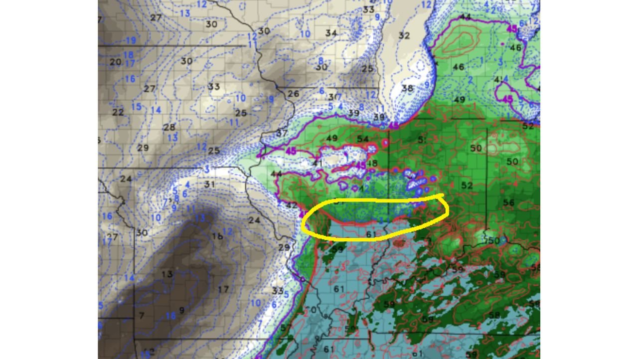
The upper-level pattern shows a vigorous mid-level trough pushing eastward, with strong 500 mb winds sweeping across the central United States. This creates a highly sheared environment over the Ohio Valley, particularly across western and central Kentucky, middle Tennessee, and parts of southern Indiana.
While instability appears limited due to cooler air and a progressive storm system, the wind profiles are notably supportive of rotating storms. Forecast soundings indicate changing wind direction and speed with height — a key ingredient for supercell development.
This means that even modest thunderstorms that manage to intensify could rotate. Areas near and south of the warm front — especially across central Kentucky and northern Tennessee — may see the most favorable overlap of moisture and shear.
Warm Sector Could Become Active and Messy
Surface temperatures across the southern half of the region are forecast to rise into the upper 50s and 60s, with dew points climbing into the upper 40s and low 50s in spots. That moisture may be just enough to destabilize the lower atmosphere.
High-resolution model guidance paints clusters of storms riding along the edge of deeper moisture in the warm sector. This suggests storms could initially be messy and HP-type (high-precipitation) cells, capable of producing heavy rain, gusty winds, and brief tornado spin-ups embedded within rain bands.
The corridor from western Kentucky into central Tennessee appears particularly active in model projections. Meanwhile, farther north into central Indiana and Ohio, cooler air may limit storm intensity.
Tornado Probabilities Concentrated South of the Ohio River
Short-range ensemble tornado guidance highlights the highest probabilities centered across central Kentucky, extending eastward into eastern Kentucky and western Tennessee. Southern Indiana and southern Illinois also show elevated values, though slightly lower than areas farther south.
The environment supports rotating storms, but the limiting factor remains instability. If moisture increases more than currently forecast, the tornado threat could trend upward. If instability remains suppressed, storms may struggle to organize fully.
Either way, damaging wind gusts and isolated tornadoes cannot be ruled out in the highlighted region.
Key Factors That Will Determine Storm Intensity
Several variables will decide how serious this threat becomes:
- How quickly richer moisture advances northward
- Whether storms form along a discrete boundary or remain clustered
- The exact placement of the warm front
- The timing of peak heating versus storm initiation
The system is progressive, meaning it may move quickly through the region. That could limit storm longevity but also create fast-moving storms that reduce warning lead time.
Residents across Kentucky, Tennessee, southern Illinois, Indiana, and parts of Ohio should monitor updates closely and ensure multiple methods of receiving weather warnings are active.
Severe weather in February is not unheard of, especially when strong upper-level dynamics compensate for limited surface warmth.
Stay with ChicagoMusicGuide.com for continued updates on this developing Ohio Valley severe weather threat and for detailed regional storm breakdowns as confidence increases.