
Powerful Western Storm Pattern Expands Into California and the Pacific Northwest as Major Flood Concerns Continue in Washington
WASHINGTON — A strengthening atmospheric river pattern continues to hammer the Pacific Northwest this week, with heavy rain, rising rivers, powerful wind gusts, and significant high-elevation snow now expanding south into California.
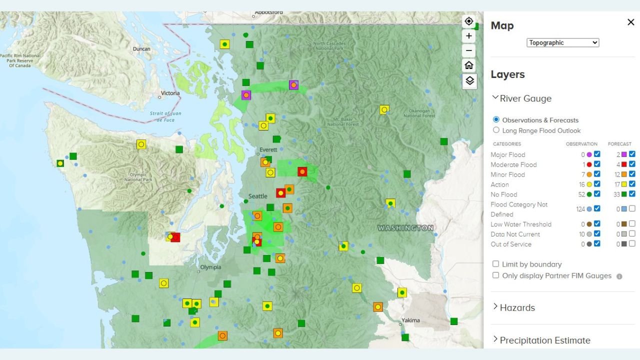
A persistent storm train is locked onto the western United States, funneling repeated rounds of moisture into Washington, Oregon, and the Sierra Nevada. The Skagit River in Washington is expected to rise back into Major Flood Stage today and tomorrow, signaling yet another round of dangerous high water for communities already saturated from earlier events.
Forecasters stress that rain will quickly transition to snow in the mountains as colder air filters in, but this change does not reduce hazard levels. Instead, the primary risk could shift to damaging, hurricane-force ridgetop wind gusts, especially in the Washington Cascades and Oregon high terrain.
Heavy Western Precipitation Expands Into Oregon and California
Recent model guidance shows:
- 5 to 15 inches of total precipitation along the Washington and Oregon Cascades.
- California’s Sierra Nevada expected to receive 3 to 6 inches of liquid equivalent, with 4–6+ feet of snow at high elevations.
- Localized maxima exceeding 15 inches of precipitation per blended NOAA model estimates.
Rain and snow accumulations remain highly elevation-dependent, but impacts will spread widely. As the atmospheric river shifts south later this week into early next week, California will see a rapid increase in snow and rain rates, providing beneficial mountain snowpack but also travel hazards.
Washington: Flood Watches and River Warnings Intensify
Washington continues to face the most immediate impacts:
- Major Flood Stage likely on the Skagit River
- Moderate and Minor Flooding ongoing across western counties
- Numerous gauges across King, Snohomish, Skagit, and Whatcom Counties are showing action-stage or rising-trend water levels
- Significant runoff expected from heavy rain before snow levels drop
Emergency managers warn that even though snow levels will fall, runoff from the earlier warm rain remains in the system, meaning river responses will lag behind the initial precipitation peak.
Sierra Nevada: Significant Snowstorm Expected
The incoming pattern will deliver much-needed Sierra snow, ending the recent dry stretch:
- High-elevation totals exceeding 3 to 6 feet
- Travel through I-80, US-50, and mountain passes may become dangerous or impossible
- Blizzard-like gusts possible along exposed ridges
The Sierra event will begin as rain in lower elevations before quickly transitioning to heavy snow as the colder air arrives.
East Coast: Another Brief Burst of Arctic Air Ahead
While the West deals with flooding and mountain storms, the Northeast and Mid-Atlantic remain locked in a cold pattern, with:
- A short-lived but sharp cold blast returning this weekend
- Snow chances continuing, particularly across New England
- Temperatures moderating slightly early next week before another push of cold arrives
None of this eastern cold rivals the extreme western impacts, but it contributes to a highly active national weather pattern.
Outlook: The Active Western Pattern Continues Into Next Week
Meteorologists expect the storm conveyor belt to continue shifting north and south, delivering multiple rounds of high-impact weather:
- Repeated flood threats in Washington and Oregon
- Heavy Sierra snow improving snowpack but threatening mountain travel
- Periodic blasts of cold across the eastern U.S.
Most of the nation’s most potent weather remains concentrated in the West.
Stay Updated With ChicagoMusicGuide.com Weather Coverage
More updates will follow as the pattern continues to evolve. Check back for ongoing forecasts and region-by-region weather analysis.