
Texas, Oklahoma, Arkansas and Illinois Highlighted in Unusually Strong March Tornado Signal as Long-Range Models Flash Rare Severe Pattern Setup
UNITED STATES — Long-range model guidance is painting an unusually aggressive severe weather signal for March, with Texas, Oklahoma, Arkansas, Missouri and Illinois emerging in a corridor that could support repeated thunderstorms and potential tornado setups as the month unfolds.
Forecasters caution that long-range signals do not guarantee specific outbreak days. However, the large-scale atmospheric pieces — including pressure anomalies, upper-level height patterns, precipitation anomalies and temperature trends — are aligning in a way that strongly favors an active severe weather regime across the central and eastern United States.
Western Trough, Eastern Ridge: A Classic Severe Setup
Ensemble guidance shows:
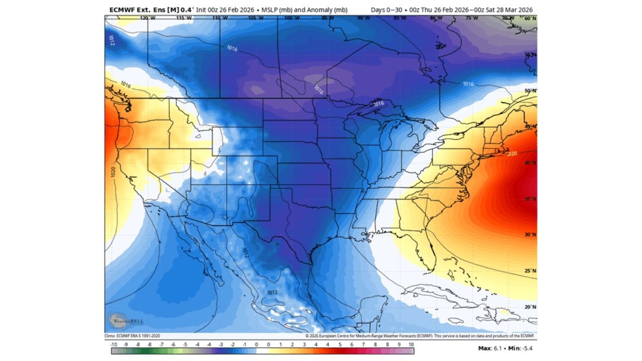
- Below-normal pressure centered across the Central Plains and Midwest
- Persistent troughing over the western U.S.
- A strong ridge building across the Southeast and Mid-Atlantic
This configuration often promotes:
- Strong southwest flow aloft over Texas and Oklahoma
- Repeated storm systems ejecting into Kansas, Missouri and Illinois
- Enhanced wind shear across the Mississippi Valley
When a western trough meets a warm, moist Southeast ridge, the stage is often set for springlike severe weather episodes — even early in March.
Rainfall Anomalies Focused from Texas to Illinois
30-day precipitation anomaly guidance highlights an enhanced rainfall corridor stretching from:
- North and east Texas
- Through Oklahoma and Arkansas
- Into Missouri, Illinois, Indiana and Ohio
This suggests repeated storm systems tracking across this zone. While not every system produces severe weather, persistent storm tracks increase the probability that at least some setups will overlap with favorable instability and shear.
Chicago and much of Illinois fall near the northern edge of the enhanced precipitation signal, meaning storm systems could frequently pass nearby.
Height Anomalies Favor Active Mississippi Valley Pattern
500mb height anomalies show:
- Lower-than-average heights centered over the Plains and Midwest
- Higher heights across the Southeast and Atlantic
This supports a broad southwest-to-northeast storm track from Texas into Missouri and Illinois, a common severe corridor during active spring periods.
Such patterns can support:
- Supercells across Oklahoma and Kansas
- Squall lines across Arkansas and Missouri
- Expanding thunderstorm complexes into Illinois and Indiana
Warmer-Than-Average Temperatures Across the Central U.S.
Temperature anomaly maps show above-average warmth across:
- Texas
- Oklahoma
- Arkansas
- Missouri
- Illinois
- Much of the Ohio Valley
Warmer surface temperatures increase instability potential — a critical ingredient for severe storms when combined with shear and lift.
Meanwhile, cooler anomalies remain entrenched over parts of the western United States, reinforcing the troughing pattern needed to drive disturbances eastward.
Why Forecasters Are Paying Attention
The phrase “absurdly active” has been used to describe the strength of this signal — not because tornadoes are guaranteed, but because:
- Mid- and long-range ensembles are consistently aligned
- Analog years show active severe patterns under similar setups
- Multiple atmospheric ingredients appear synchronized
Still, meteorologists stress that smaller-scale features — such as surface boundaries, timing of disturbances and exact moisture quality — will ultimately determine how active March becomes.
What This Means for Illinois and the Midwest
Illinois, including Chicago, sits near the transition zone between stronger Plains dynamics and the eastern ridge.
If the storm track shifts slightly north or if Gulf moisture surges farther into the Midwest, portions of Illinois, Indiana and Missouri could see increasing thunderstorm activity later in the month.
For now, the strongest tornado parameter signals remain focused farther southwest across Texas and Oklahoma, but the broader Mississippi Valley should remain alert.
Bottom Line: Pattern Favors Active March
While specific outbreak days are not yet identifiable, the large-scale environment across Texas, Oklahoma, Arkansas, Missouri and Illinois is trending toward a more volatile March.
Residents across the Plains and Mississippi Valley should begin reviewing severe weather safety plans as the month progresses.
We will continue monitoring how this evolving pattern develops and whether the strong long-range signal translates into significant severe weather episodes.
For ongoing updates on the developing March severe weather pattern across Texas, Oklahoma, Arkansas, Missouri and Illinois, stay with ChicagoMusicGuide.com.