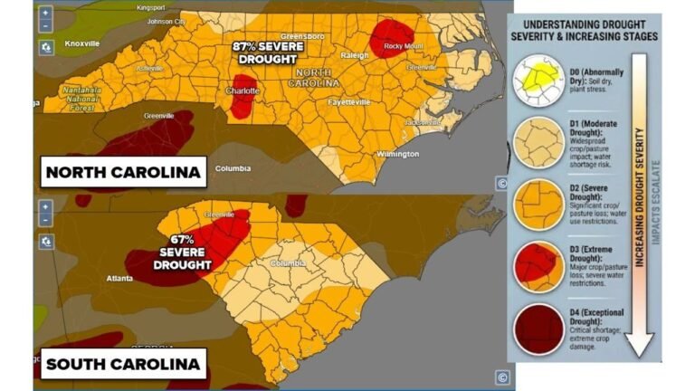
Georgia, North Carolina, South Carolina Face Rare Southern Snow Chance as Low-Impact System Moves Through Southeast
UNITED STATES — Parts of the Southeast are set to experience a brief and unusual taste of winter as a fast-moving weather system brings the potential for light snow across Georgia, North Carolina, and South Carolina, mainly from late Sunday morning into early Sunday afternoon. While this is not shaping up to be a major winter storm, the setup is noteworthy for a region that rarely sees measurable snow — especially this late into January.
Forecast data and ensemble guidance show a narrow window where rain may briefly mix with or flip to snow as colder air filters south behind a departing surface system. Temperatures, however, are expected to remain above freezing for most locations, significantly limiting impacts.
What the Latest Forecast Data Shows
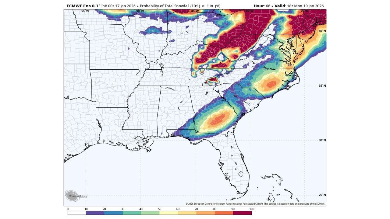
Model guidance indicates that precipitation will begin primarily as rain across much of the Southeast early Sunday. As the system exits and colder air moves in from the north, parts of inland southern Georgia, central and eastern North Carolina, and portions of interior South Carolina could briefly see snowflakes mix in.
Most guidance keeps snowfall totals very light, with probabilities favoring:
- No accumulation or just a trace for many areas
- Up to 0.1 inch possible in isolated spots
- Less than a 5–15% chance of amounts exceeding 1 inch
Higher snow probabilities remain concentrated away from the immediate coast and more likely west of major corridors such as I-95, where colder air can settle in slightly more efficiently.
Timing: A Narrow Window for Snow
The best chance for any snowflakes will be late Sunday morning through early afternoon. Hour-by-hour projections show:
- Morning: Rain dominates with temperatures in the upper 30s to low 40s
- Late morning to midday: Brief rain/snow mix possible inland
- Afternoon: Precipitation tapers off quickly as skies begin to clear
This quick progression is a key reason impacts are expected to stay minimal.
Why Accumulation Will Be Limited
Despite colder air arriving, several factors are working against significant snowfall:
- Surface temperatures stay above freezing throughout the event
- Warm ground temperatures from recent mild weather
- Short duration of any snow phase
- Light precipitation intensity overall
Where snow does fall, it is most likely to stick briefly to grassy surfaces, rooftops, or elevated roadways, rather than main roads.
Travel Impacts: Mostly Minor, With One Caveat
For most drivers across Georgia, North Carolina, and South Carolina, travel issues are not expected. Roads should remain primarily wet, not snow-covered.
However, there is one concern to keep in mind:
- As skies clear Sunday night and temperatures drop, patchy black ice could develop
- This risk is highest on bridges, overpasses, and untreated surfaces
- Impacts would be isolated, not widespread
Drivers traveling early Monday morning should remain alert, especially in areas that experienced lingering moisture.
Social Media vs. Reality
In recent days, social media has been flooded with dramatic “snow maps” showing heavy totals across the Deep South. Forecast confidence from professional meteorologists and ensemble trends does not support those scenarios.
The overall signal points to:
- A low-impact, novelty snow event
- Brief flakes for some, nothing for many
- No widespread disruptions or closures
While snow excitement is understandable in the Southeast, this setup falls firmly on the “fun flakes, not shovel snow” end of the spectrum.
Why This Event Is Still Notable
Even light snow is uncommon in this region, particularly in southern Georgia and coastal-adjacent areas of the Carolinas. Seeing snowflakes at all is something many residents may only experience once every few winters — sometimes less.
Meteorologically, this system highlights how quickly conditions can change when cold air undercuts a departing rain system, even without a strong winter storm in place.
Bottom Line
This is not a historic winter storm for the Southeast. Instead, it’s a quick-hitting, low-impact system that may bring a brief mix of rain and snow to parts of Georgia, North Carolina, and South Carolina on Sunday.
Enjoy the flakes if you see them, remain cautious of isolated slick spots late Sunday night, and know that for most areas, winter’s presence will be more visual than disruptive.
Stay tuned for updates as final timing and temperatures become clearer.