Quad Cities Weather Alert: Light Snow Possible Saturday Evening as Temperatures Drop

Davenport, IA – The National Weather Service is tracking the region’s first potential snowfall of the season this weekend, as a cold front moves through eastern Iowa and northwestern Illinois.
The Forecast
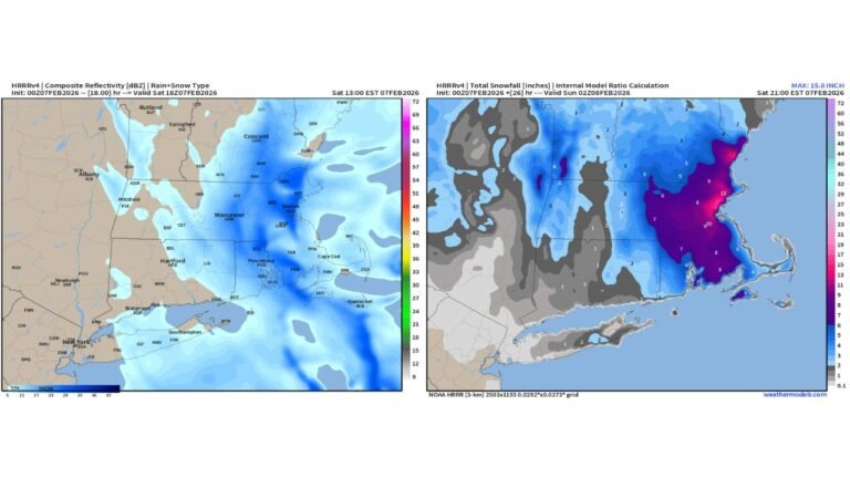
Forecasters say rain will develop Saturday afternoon before transitioning to light snow by evening, particularly north of Highway 30. Areas including Cedar Rapids, Dubuque, and Sterling may see the first flakes of the season.
While ground temperatures remain too warm for significant accumulation, snow may briefly stick to grassy and elevated surfaces before melting.
Temperature Drop and Travel Impacts
Meteorologists warn that temperatures will fall sharply overnight into early Sunday morning, potentially causing slick spots on roads, bridges, and overpasses as any leftover moisture freezes.
Although little to no measurable accumulation is expected in the Quad Cities metro, drivers are urged to use caution when traveling Saturday night and early Sunday.
“Warm and wet ground conditions will limit accumulation, but freezing overnight temperatures could still create isolated icy patches,” the National Weather Service advised.
Ongoing Updates
The National Weather Service will continue to monitor the system as it moves east, with additional advisories possible if snow spreads farther south than expected.
Residents should stay alert to updated forecasts and prepare for a brief taste of winter heading into Sunday morning.
How are you preparing for the first snow of the season? Share your thoughts below.