First Snow of the Season Arrives in West Michigan as Winter Storm Watch Takes Effect
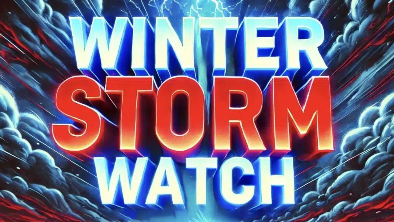
WEST MICHIGAN — The first snowflakes of the season are officially falling across West Michigan, marking the beginning of the area’s winter weather season. The National Weather Service (NWS) has issued a Winter Storm Watch for Cass and Berrien Counties from Sunday afternoon through Monday evening, with forecasters warning of heavy lake effect snow and hazardous travel conditions.
Cold Air and Snow Sweep Across the Great Lakes
Meteorologists say significantly colder air is moving over the Great Lakes this weekend, setting the stage for a transition from rain to snow between Saturday night and early Sunday.
“That will set the stage for some snow mixing in with rain and then changing to all snow Saturday night into Sunday,” forecasters said.
Travelers are urged to use caution as slippery roads and reduced visibility could create dangerous driving conditions late Saturday into Sunday morning.
What to Expect Saturday Night
By Saturday evening, a low-pressure system moving across Lake Michigan will generate rain and snow showers, especially near and south of Grand Rapids. As colder air filters in, precipitation will transition entirely to snow.
Forecast models predict 1 to 3 inches of accumulation across much of the region, with isolated areas along the I-94 corridor — including Allegan, Van Buren, Cass, and Berrien Counties — potentially reaching 2 to 4 inches.
“Moisture from a low-pressure system moving across Lake Michigan will produce a few late evening rain and/or snow showers,” the NWS noted. “As temperatures begin to drop, we are likely to see snow mixing in with the rain.”
Lake Effect Snow Intensifies Sunday
By Sunday morning, temperatures will fall into the low 30s, and gusty winds will push wind chills into the upper teens and lower 20s. Snow will become more widespread and heavier as lake effect bands develop behind the passing system.
The heaviest snow is expected through western Van Buren, southwest Allegan, Cass, and Berrien Counties, where localized bands could deliver higher totals.
“A Winter Storm Watch is set to go into effect Sunday afternoon through Monday evening for Berrien County through the foot of Lake Michigan,” meteorologists confirmed.
The pattern aligns closely with West Michigan’s historical first snow timeline, which typically occurs around November 8 each year.
Looking Ahead: Short-Lived Chill
While this early storm system introduces winter-like conditions, the cold won’t linger long. Forecasters expect a gradual warm-up next week, with highs returning to the mid and upper 40s by midweek.
Residents are encouraged to bundle up, prepare for slick roads, and keep an eye on evolving forecasts.
“Even light accumulations can cause icy roads and slower commutes,” NWS officials reminded.
Are you ready for this first taste of winter? Share your photos and local snow reports with us at ChicagoMusicGuide.com.