Illinois Faces Mid-December Arctic Blast as Chicago Wind Chills Turn Dangerous From Friday Into Early Week
CHICAGO, ILLINOIS – A sharp surge of Arctic air is expected to sweep out of the Northern High Plains and expand across the central United States this weekend, bringing near-record cold and dangerous wind chills that could impact travel, outdoor plans, and anyone heading to concerts or winter events in the Chicago area.
National Weather Service messaging highlights a cold push that begins spreading Friday, strengthens Saturday, and reaches farther east and south by Sunday. While exact numbers can still shift, the overall signal is clear: mid-December is about to feel like the heart of winter across much of the Midwest, with Chicago positioned in the zone where wind chills can dip well below freezing.
What forecasters are saying about the timing and rollout
The pattern described in the forecast messaging shows the cold expanding in stages:
- Friday: Arctic air begins pushing south out of the Northern High Plains
- Saturday: The cold expands into the Central Plains and Ohio Valley
- Sunday: The outbreak reaches into the Mid-South and Mid-Atlantic
For the Midwest, that kind of progression typically means the cold “arrives,” then settles in and lingers—especially once nighttime lows and wind increase behind the leading edge of the air mass.
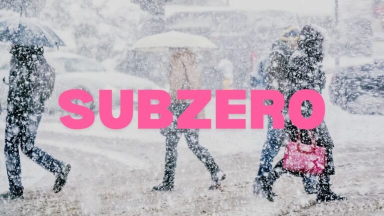
How cold could it feel in and around Chicago
The forecast messaging notes temperatures running 20 to 30 degrees below normal in the core of the outbreak, with wind playing a major role in how harsh it feels outside. Gusty winds—often 20 to 35 mph in the hardest-hit areas—can drive wind chills down quickly.
Chicago is shown within the band of subzero wind chill risk, with the broader region potentially seeing wind chills dropping below 0°F during the cold stretch. Even when air temperatures aren’t at their absolute lowest, wind can make short outdoor exposure feel brutal—especially near sunrise and after dark.
Why this matters for concerts, nightlife, and weekend travel
For ChicagoMusicGuide readers, this kind of cold can change the vibe of a weekend quickly:
- Driving risks: Not just snow—reduced visibility in wind, quick fatigue in the cold, and higher chances of car trouble.
- Transit waits: Train platforms and bus stops become a different challenge when wind chills fall below zero.
- Venue entry lines: Outdoor lines and security queues can become uncomfortable fast, especially for anyone underdressed.
- Post-show safety: The walk back to a car or rideshare pickup can be the coldest part of the night.
If you’ve got plans, the smart move is simple: dress for the wait, not just the show.
Cold-weather safety reminders worth taking seriously
Forecast messaging emphasizes that wind chills in this kind of event can create a life-threatening risk for exposed skin. A few practical steps matter more than people realize:
- Cover exposed skin (hands, ears, face) and wear wind-blocking outer layers
- Limit time outside during the coldest hours
- Plan for pets—shorter walks and proper protection
- Keep a basic cold kit in the car (blanket, charger, gloves, hat)
Even if you’re only “running out for a bit,” extreme wind chill can turn that into a problem quickly.
What to watch next as the forecast updates
The biggest details that can still shift are how long the worst wind chills last and whether the cold arrives with additional hazards (like scattered snow or quick freeze-ups). The overall message, though, remains consistent: the cold is real, and it’s spreading across a large footprint.
As updates come in, Chicago-area residents should keep an eye on local advisories and the latest timing—especially if you’re commuting early, traveling out of state, or heading to any outdoor events.
If you’ve got weekend show plans, are you changing them because of the cold—or powering through with extra layers? Share what you’re seeing in your neighborhood, and keep following ChicagoMusicGuide.com for weather-aware concert planning and local updates.