
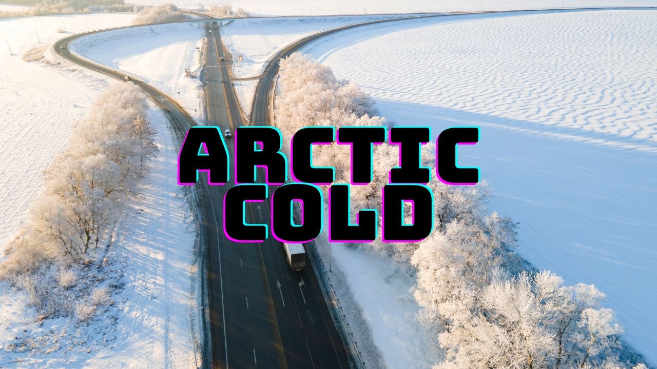
Chicago Braces for Dangerous Arctic Cold This Weekend as National Storm System Sends Subzero Air South and Triggers Icy Morning Conditions Across the Midwest
CHICAGO, ILLINOIS – A powerful nationwide weather pattern is setting the stage for another blast of bitter cold across Chicago this weekend as Arctic air pushes south from the northern Plains. While the heaviest snow remains focused in the West and Rockies, and soaking rains target the Gulf Coast, Chicago’s main impact will be a sharp drop in temperatures and a renewed risk of icy conditions in the early morning hours.
Forecast maps show the coldest air mass digging deep into the northern United States, driving temperatures near or below freezing across the entire Midwest. Chicago is projected to hover in the 20s and low 30s, with wind chills making conditions feel even colder. Though no major snow system is directly overhead, the strong cold front tied to these national weather patterns is enough to reinforce wintry conditions throughout the region.
Arctic Air Expands Into the Midwest, Keeping Chicago Below Freezing
Temperature maps from the latest Meteored model illustrate just how far the Arctic air is spreading:
- Fargo: –6°F
- Minneapolis: 0°F
- Milwaukee: 20°F
- Chicago: 29°F
This surge of cold is expected to tighten its grip on northern Illinois through Sunday, keeping daytime highs running 10–15 degrees below seasonal averages. Overnight lows will fall into the teens, increasing the potential for icy patches on untreated sidewalks, shaded roads, and bridge decks.
Wind chills will also be a factor, especially during the early morning hours, when northwest winds move the cold air across Lake Michigan and into the metro area.
Chicago Avoids Heavy Snow, But Travel May Still Be Impacted
While the West and Rockies continue to see widespread snowfall — with states like Montana, Idaho, and Wyoming picking up measurable accumulation — Chicago remains mostly dry. Still, the influence of surrounding systems can affect the region indirectly.
Cold air arriving behind the Western storm may create brief lake-induced flurries, although significant accumulation is not expected. The bigger concern is refreezing moisture from previous light precipitation episodes, which may create slippery spots during the overnight freeze.
Drivers should use caution during early morning travel as temperatures fall below 32°F on both Saturday and Sunday.
Gulf Coast Storm Sends Moisture North, But Chicago Stays on the Edge
A separate system bringing heavy rainfall to the Gulf Coast — including Louisiana, Mississippi, Alabama, Georgia, and Florida — is expected to stay far enough south to avoid soaking Chicago. This widespread moisture plume highlights a sharp contrast between northern cold and southern warmth, a pattern that often introduces storm development opportunities next week.
For now, Chicago sits between active weather regions:
- Snow West
- Rain South
- Arctic cold North & East
The city’s main impact remains temperature-driven, not precipitation-driven.
What Chicagoans Should Expect Through the Weekend
- Highs in the upper 20s and low 30s
- Overnight lows in the teens
- Wind chills dipping into single digits at times
- Low snow chances but possible slick spots
- Dry skies for most of the weekend
Residents should dress in layers, prepare for extended time outdoors, and monitor for icy sidewalks during the early morning freeze.
How is the cold affecting your neighborhood? Share your weather experience and stay connected with more updates at ChicagoMusicGuide.com.