Severe Storms With Large Hail, Damaging Winds and Tornadoes Target Arkansas, Texas and Missouri Tuesday Evening
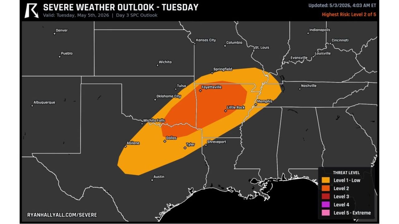
LITTLE ROCK, AR — Strong to severe storms are likely Tuesday evening, May 5, 2026 across a corridor stretching from north Texas through Arkansas and into southern Missouri. The current outlook carries a Level 2 of 5 risk, with large hail, damaging winds, and a few tornadoes all on the table for the evening hours.
Fayetteville to Memphis Carries the Highest Risk
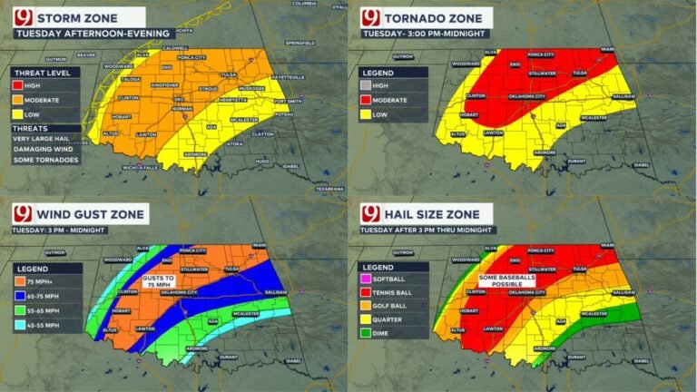
The highest-risk zone is centered over Fayetteville, Little Rock, and Memphis, with the broader threat extending from Dallas and Tyler in Texas northeastward through Shreveport and Springfield. Cities including Wichita Falls, Tulsa, and Evansville sit on the outer fringe. Large hail and damaging winds are the primary threats, with a few tornadoes possible inside the core zone.
Evening Storm Timing Makes This More Dangerous
Storms are expected to fire and intensify during the evening hours, pushing the threat window well into the night. Nighttime severe weather is significantly more dangerous because tornadoes cannot be seen and many residents are asleep when warnings are issued.
Risk Zone Breakdown
| Area | Risk Level | Primary Threats |
|---|---|---|
| Fayetteville, Little Rock, Memphis | Level 2 of 5 | Hail, winds, tornadoes |
| Dallas, Tyler, Shreveport | Level 1 to 2 | Large hail, damaging winds |
| Springfield MO, Evansville | Outer fringe | Isolated severe storms |
Forecast Confidence
Confidence in severe weather Tuesday evening across Arkansas, northeast Texas, and southern Missouri is MODERATE to HIGH. Have alerts active and your shelter location identified before Tuesday evening arrives.
More severe weather coverage is always on the horizon. Stay informed at ChicagoMusicGuide.com — your source for storm tracking and breaking weather alerts across Arkansas, Texas, and the entire United States.